July 25-26
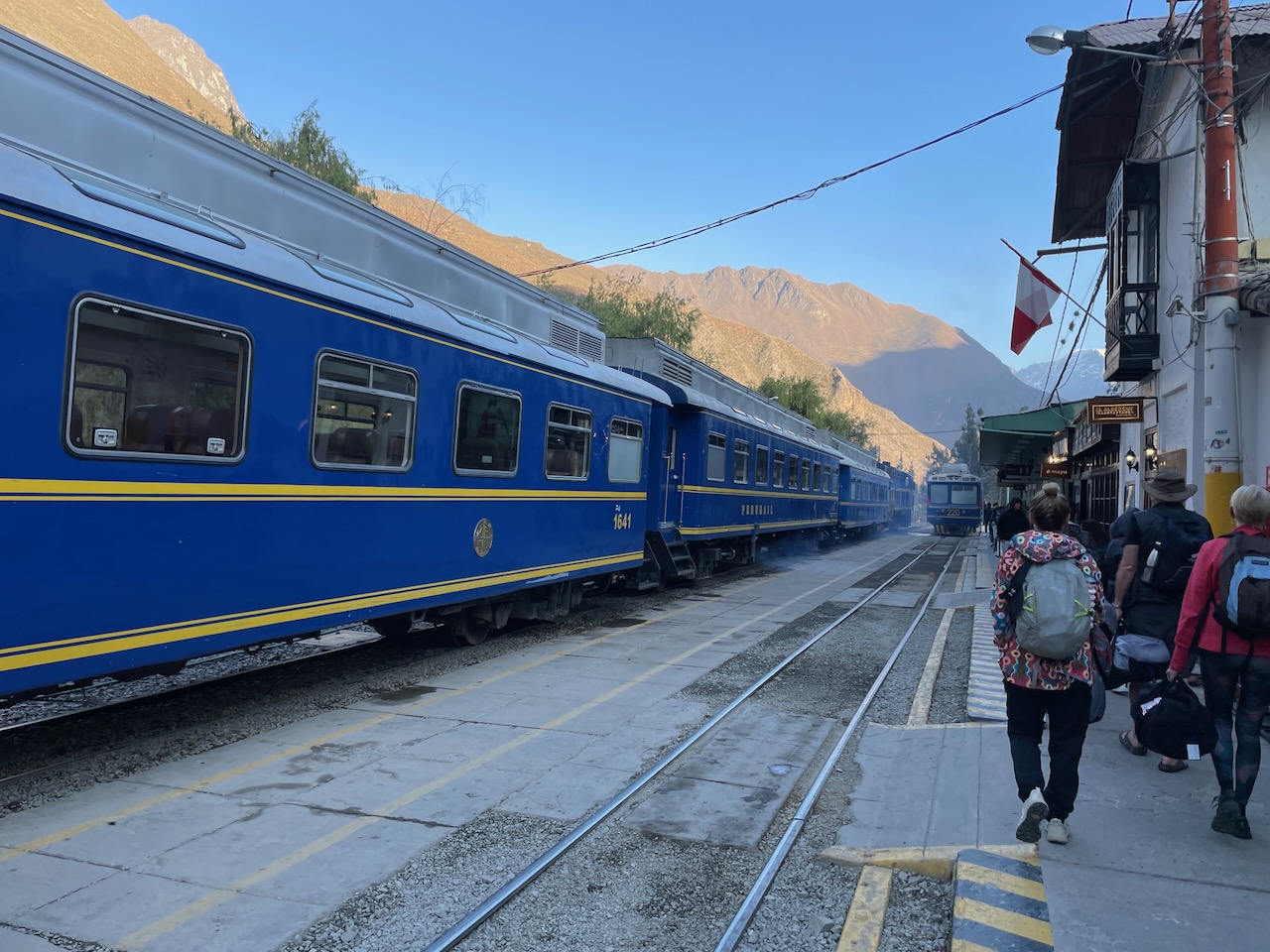
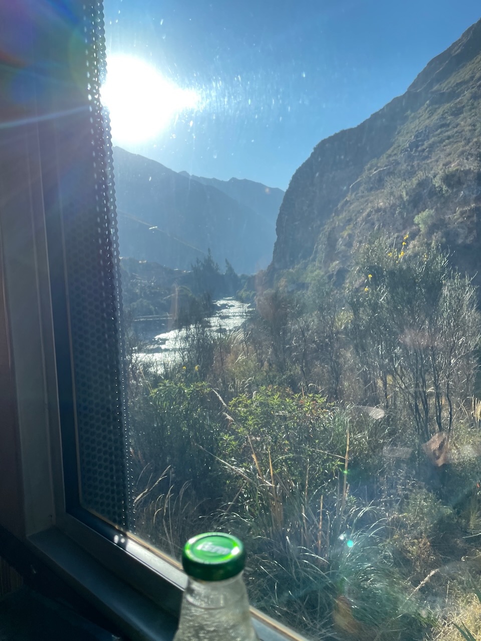
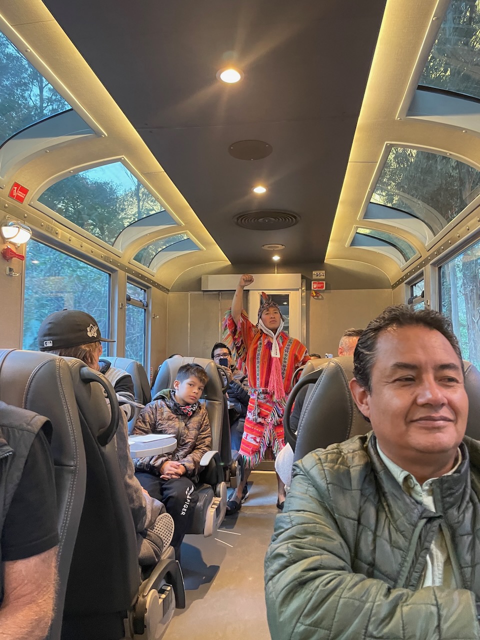
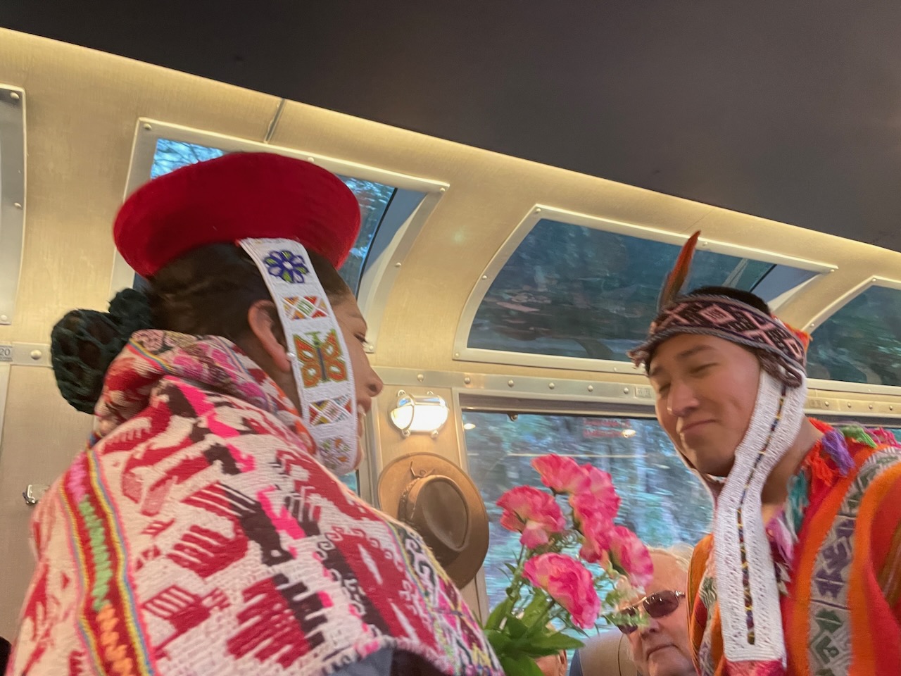
This would be a long and exciting day as we finally make our way to Machu Picchu, starting early in the morning to catch our ride, the Inka Trail’s 360 Machu Picchu Train, a dedicated line that runs from Cusco past Machu Picchu to Aguas Calientes. Featuring panoramic windows, free snacks and an open-air carriage, the ride alone is worth the price of admission, as it hugs the river on one side and steep hillsides on the other.
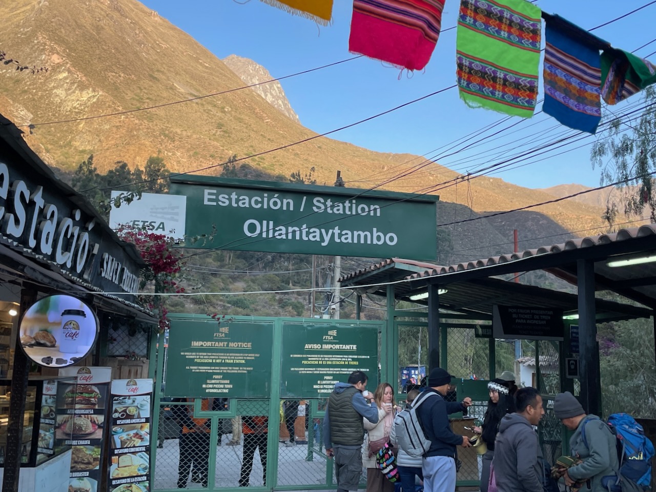
Part way through the journey, the train stops at the KM 104 stop, where those on our tour (Joanna, Natalie, Paul, and Stacy) would be hiking the 7.5 mile section of the full 55 mile Inka Trail which takes four to five days to hike. Concern about overuse leading to erosion has led the Peruvian government to place a limit on the number of people who may hike this trail per season, and to sharply limit the companies that can provide guides. A maximum of 500 people is allowed on the trail each day, of which only 200 are trekkers, the rest being guides and porters.
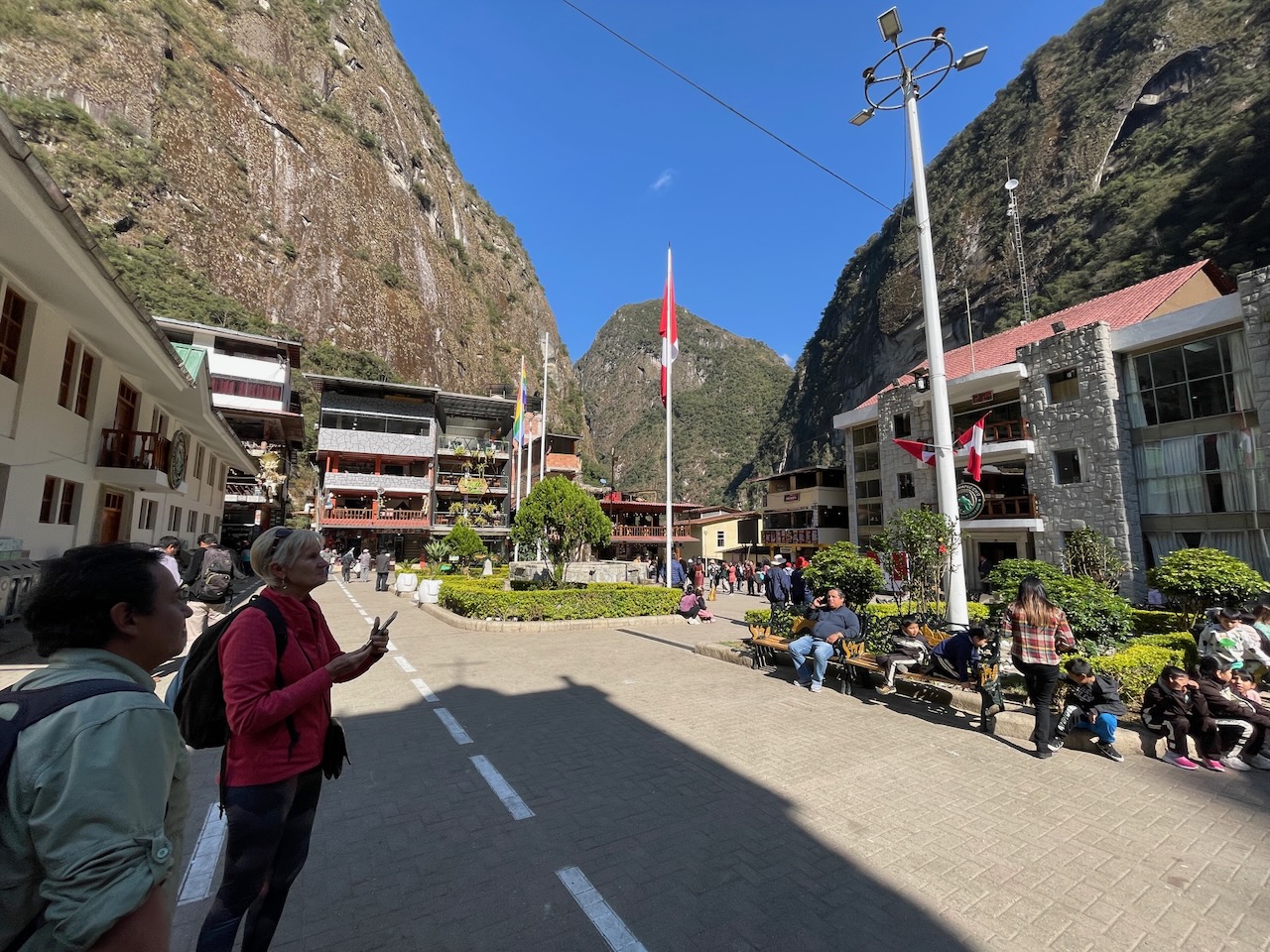
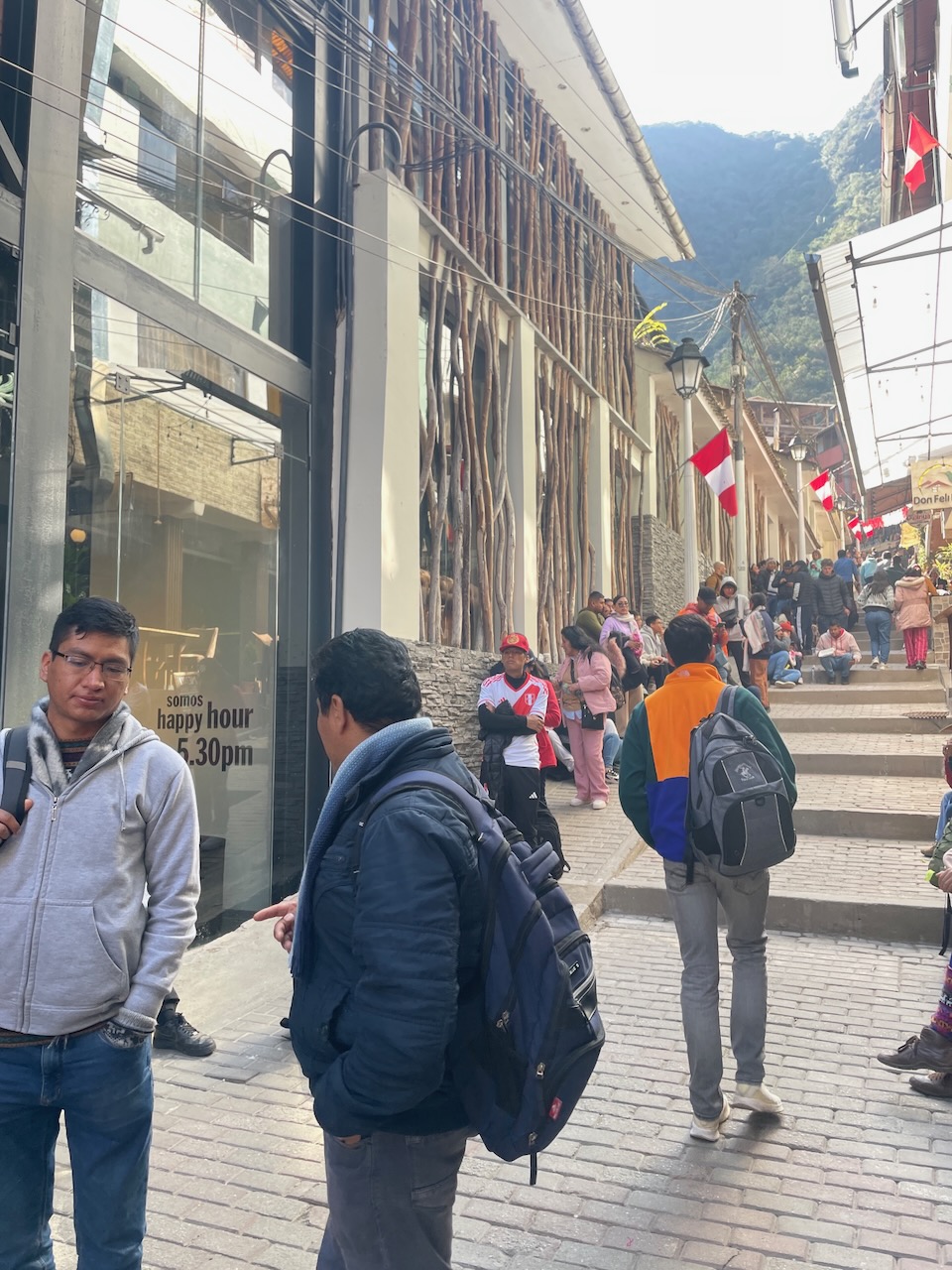
The rest of us (myself, Beppie and Ian, and Luis, our guide) would travel on to Machupicchu also known as Aguas Calientes, where we disembarked and walked from the station to the El MAPI Hotel, our lodging for the one night we’d be spending here. We dropped our luggage (and those of the others) there and went walking about town with Luis narrating for us until we would board the bus to Machu Picchu. This is a very nice hotel, built on multiple levels stretching up towards the hillside with nicely furnished rooms and an in-house spa where I would enjoy a massage the next day.
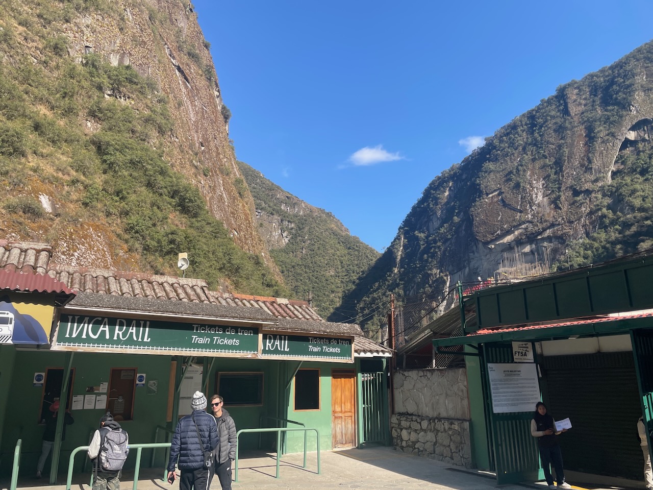
The town is the seat of the Machupicchu District, and it is the closest access point to the historical site of Machu Picchu which is 3.7 miles away. The village did not exist until the railroad was built, as it was a center for construction workers. It took off after the railroad opened in 1931 and foreign tourists started arriving to visit the Machu Picchu ruins. Enterprising individuals set up businesses serving the tourists, primarily restaurants and small hotels.
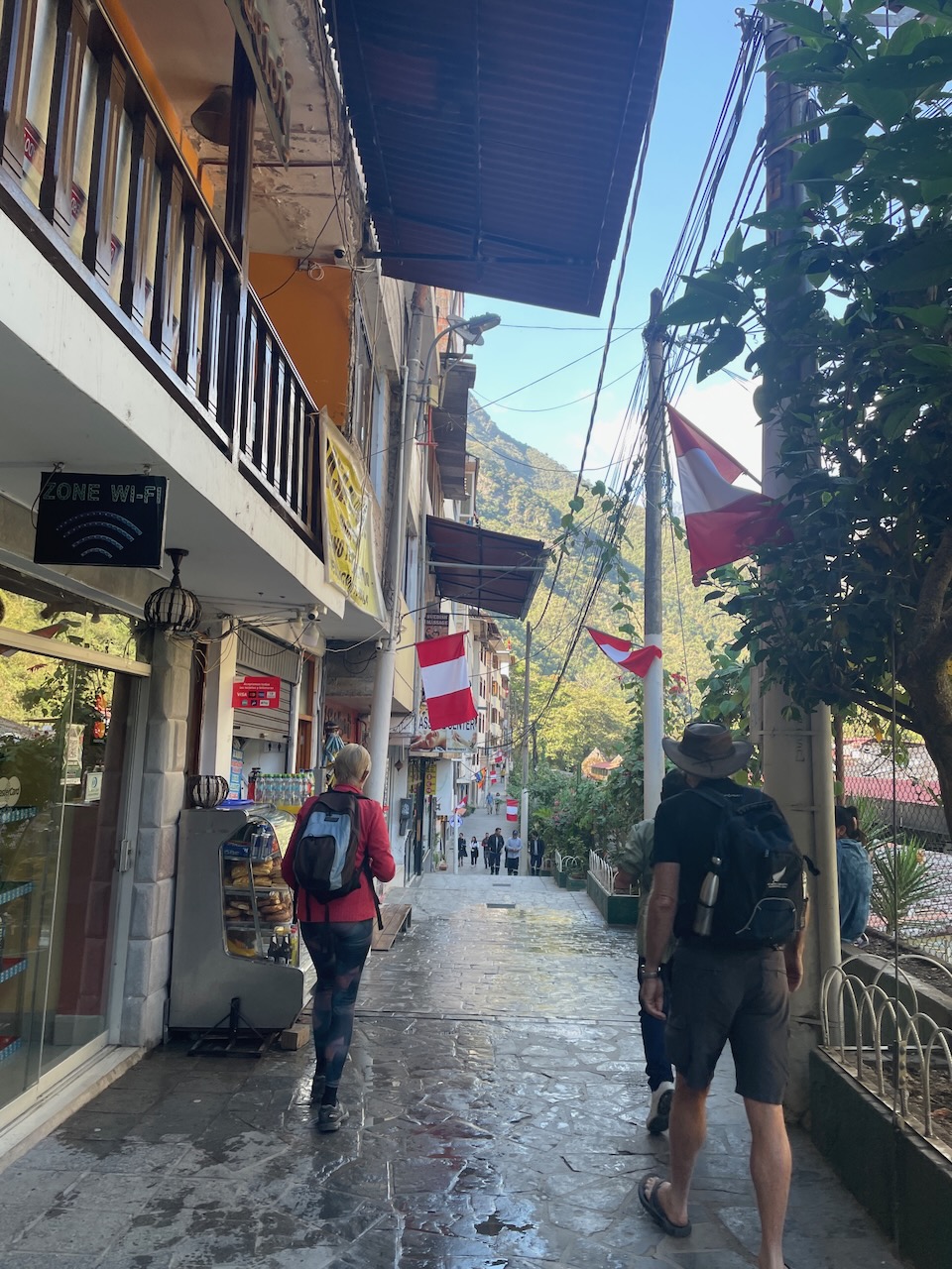
Being the jumping off point for touring the ruins has made the town financially successful and in a strange twist of Peruvian tax policy, much better off than less popular areas of the country. Unlike tax structures in other countries which redistribute tax revenues on a needed basis, here areas that remit the most taxes to the central government get the most back.
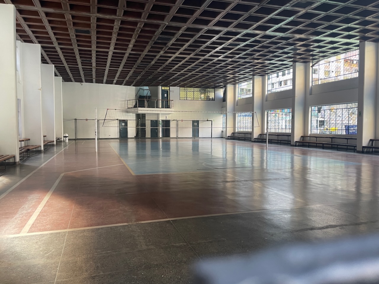
This has led the town, with an overflowing treasury, to spend money on what many might consider boondoggles, such as a soccer pitch rarely utilized and a large, multi-storied administrative building with a capacity for many employees, which only houses less than a dozen who have access to a world class gym on the ground floor.

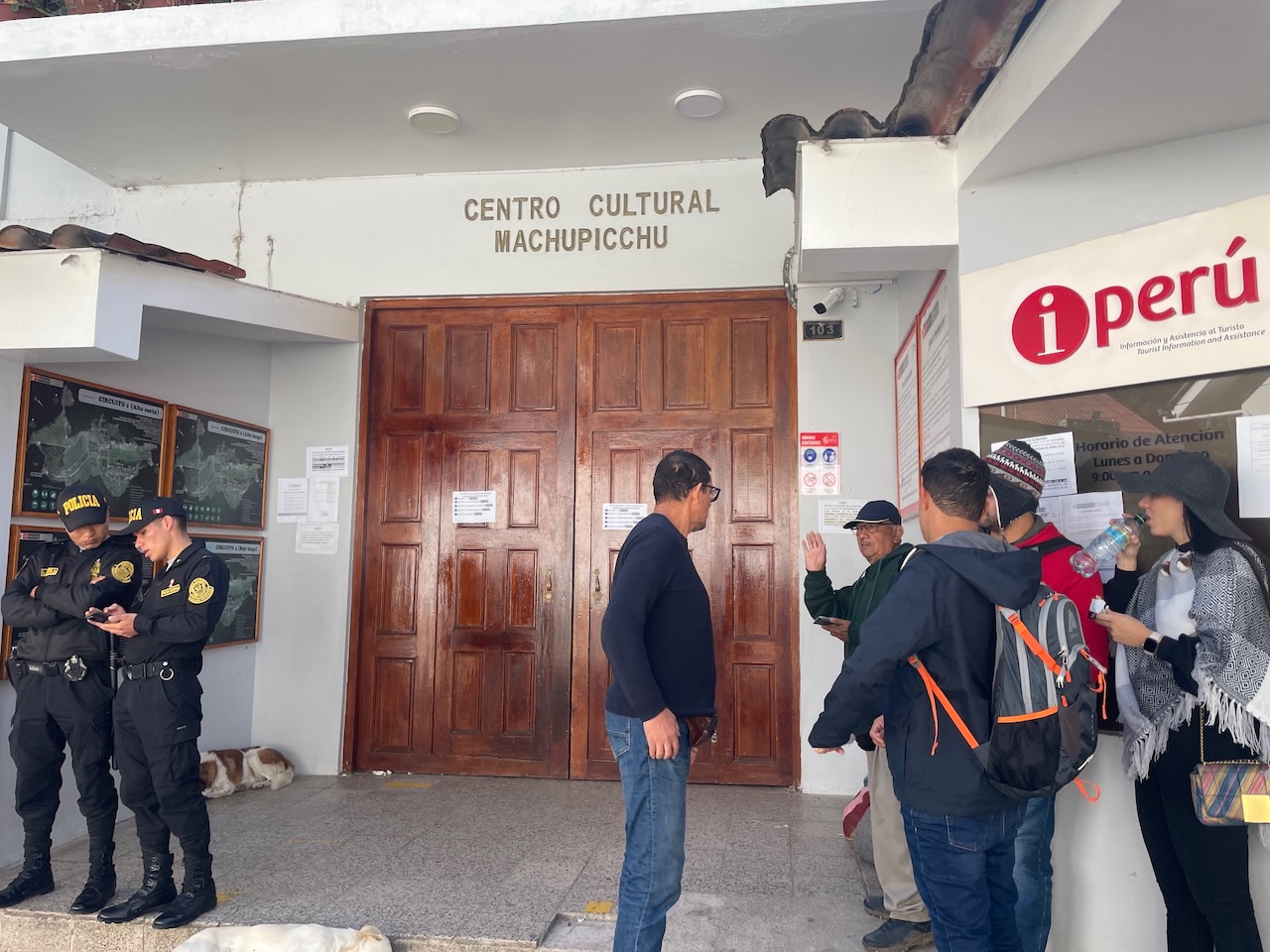
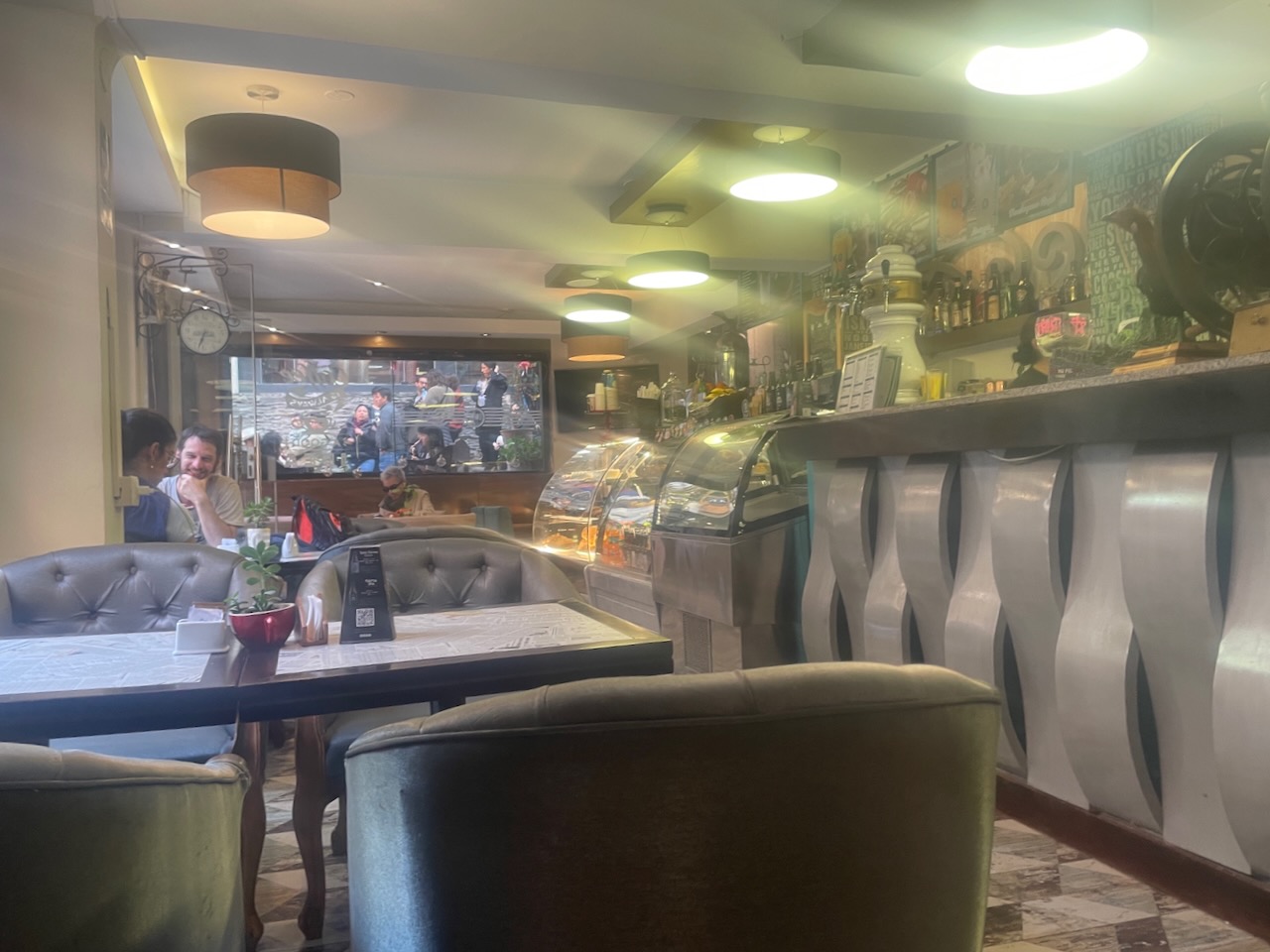
We finished up our stroll around town and with some time to kill before we were take the bus up to Machu Picchu, I ducked into Cafeteria Ollantay, just across the street from the hotel, to grab some lunch. I had to work around the long line in front of our hotel of folks waiting to get permits for the ruins, which may not have occurred that day as they were there when we returned ourselves after our tour. But, by the next day the line was gone.
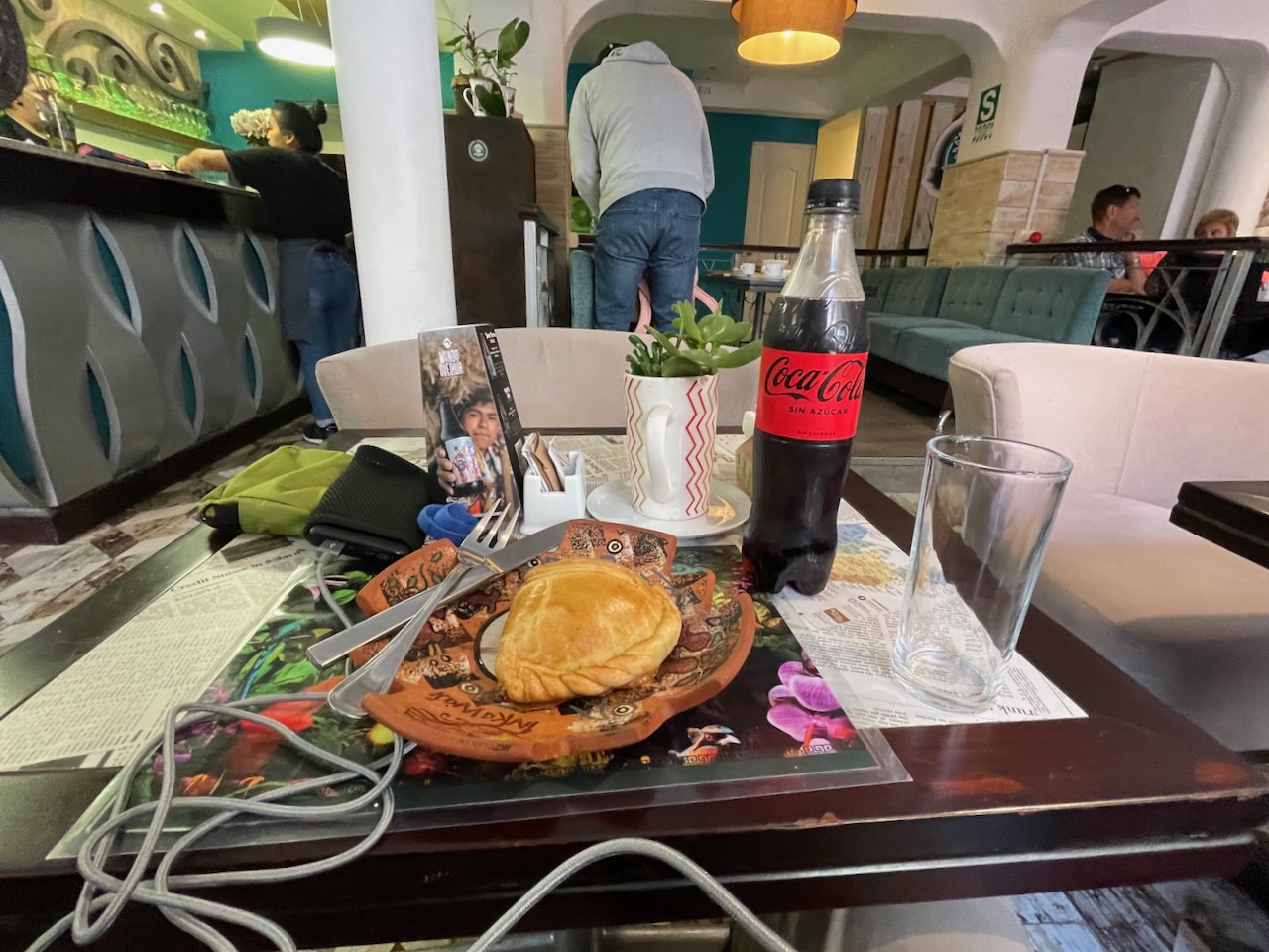
Once seated, I ordered a chicken empanada and a Coke Zero, which came quickly enough and was very tasty and filling. I loitered over the meal a bit, people watching as I did, enjoying the rich tableau around me. When it came time to settle, as usual I was pleasantly rewarded with a tab of 22-Soles ($6).

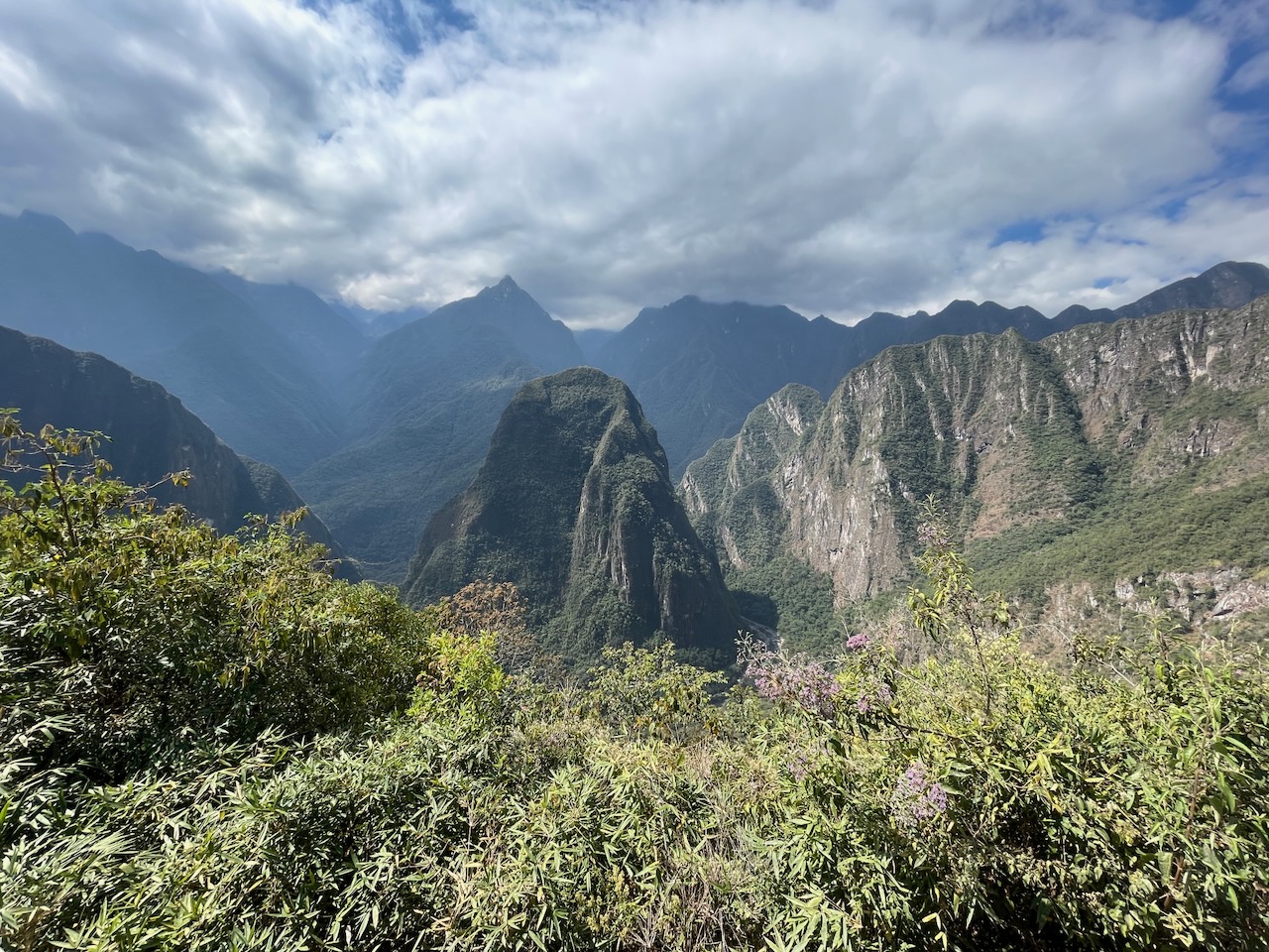
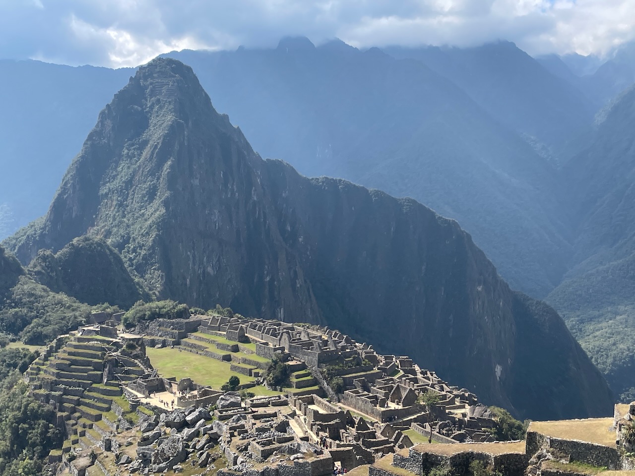
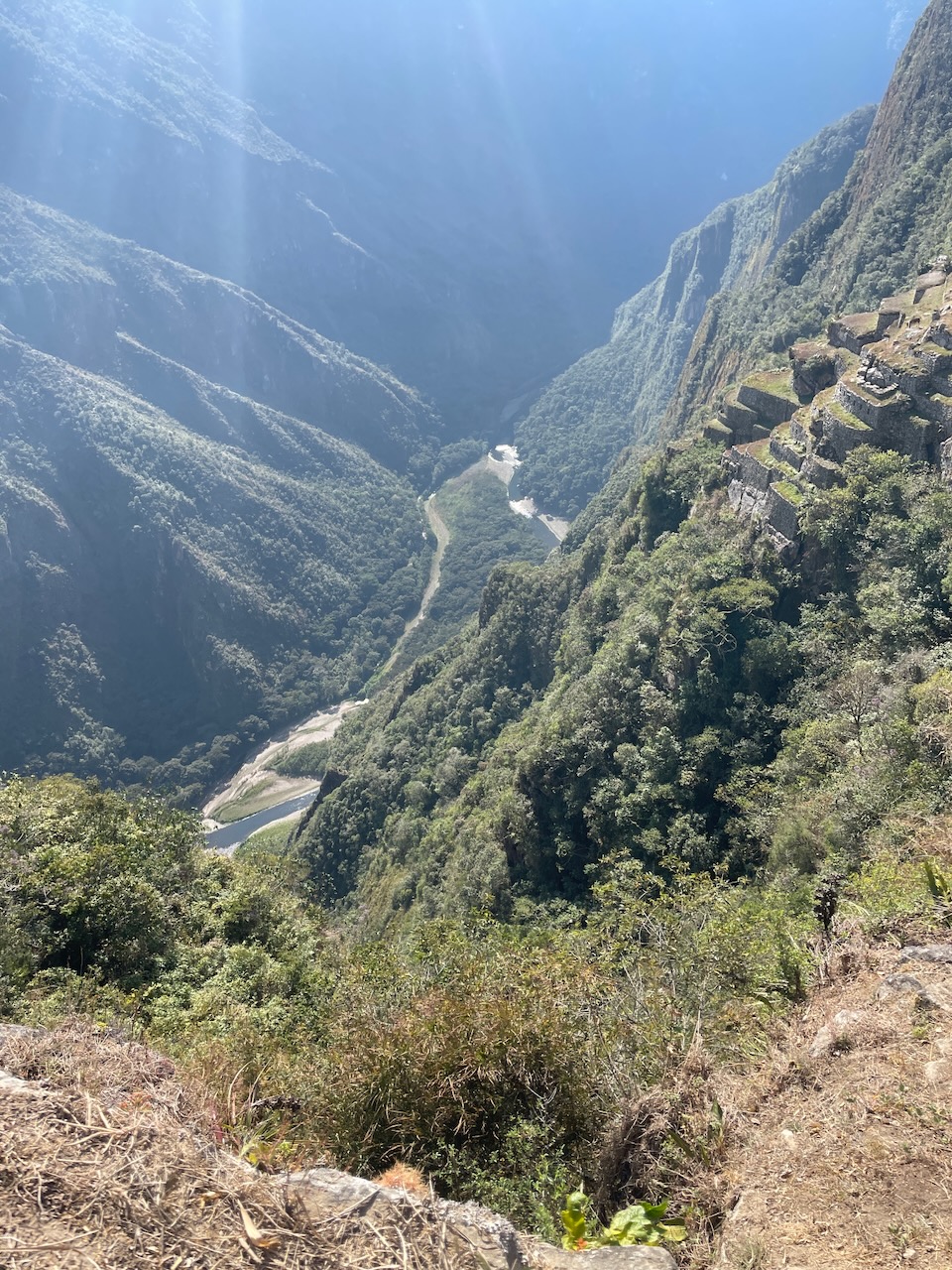
It was soon time to meet up and board the bus for the ride up the hill to Machu Picchu, which would take about twenty minutes on a curving dirt road with numerous buses passing us on their way back down the hill. Often referred to as the “Lost City of the Incas”, it is the most familiar icon of the Inca Empire. The Urubamba River flows past it, cutting through the Cordillera and creating a canyon with a tropical mountain climate.
The Inca civilization had no written language and, after the discovery by a Spanish soldier Baltasar Ocampo, by the end of the 16th-century no more Europeans visited the site until the 19th century, so far as is known, so there are no written records of the site while it was in use. In 1911 American historian and explorer Hiram Bingham of Yale University traveled the region looking for the old Inca capital and was led to Machu Picchu by a villager, Melchor Arteaga. Though Bingham was not the first to visit the ruins, he was considered the scientific discoverer who brought Machu Picchu to international attention. Bingham organized another expedition in 1912 to undertake major clearing and excavation.
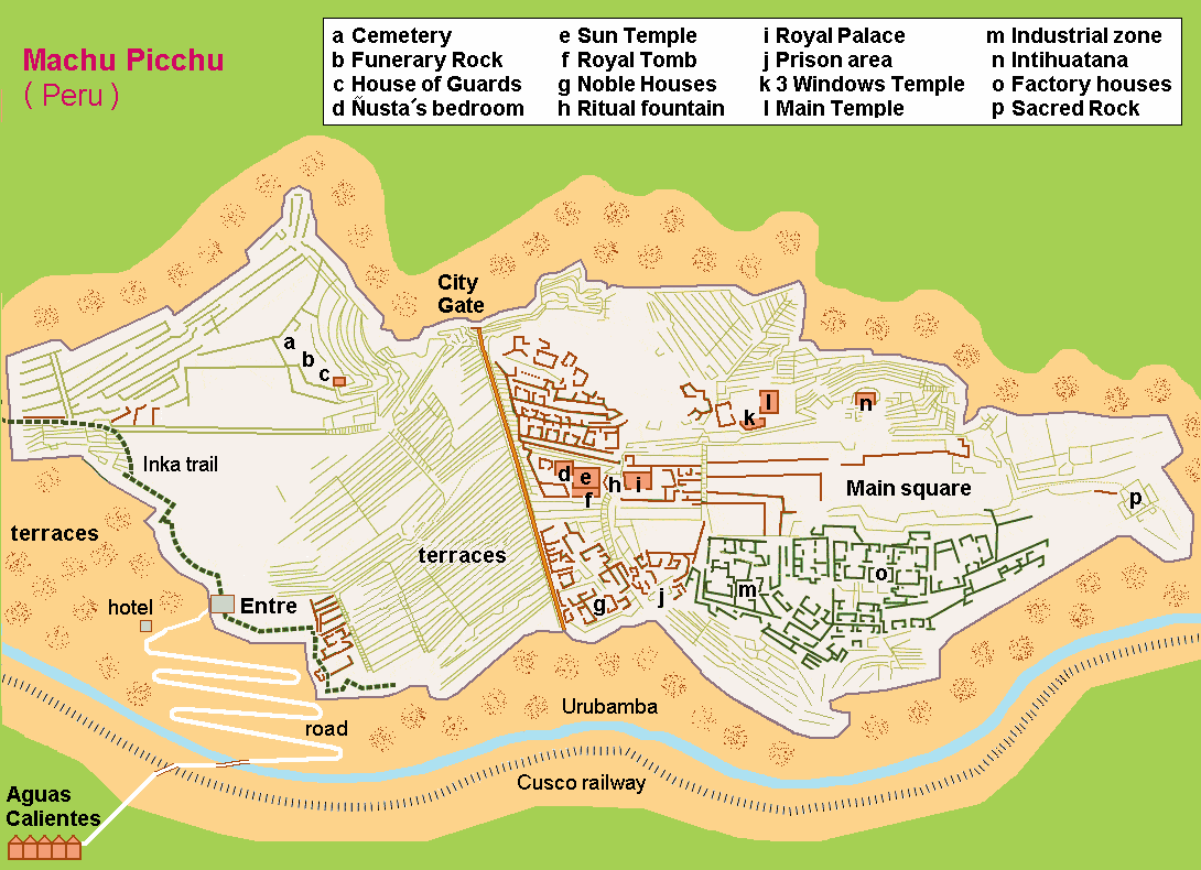
The names of the buildings, their supposed uses, and their inhabitants are the product of modern archaeologists based on physical evidence, including tombs at the site. Machu Picchu was built in the classical Inca style, with polished dry-stone walls. Its three primary structures are the Intihuatana, the Temple of the Sun, and the Temple of the Three Windows. Most of the outlying buildings have been reconstructed to give visitors a better idea of how they originally appeared. By 1976, 30% of Machu Picchu had been restored and restoration continues.
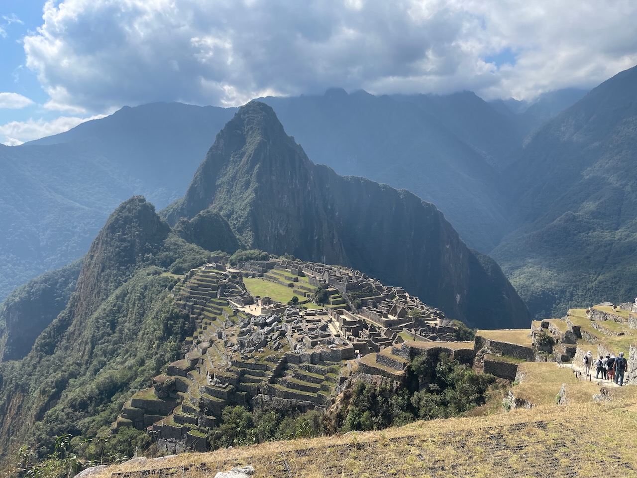
Most recent archaeologists believe that the Incas built the site around 1450 as an estate for the Inca emperor Pachacuti (1438–1472), but abandoned it a century later, at the time of the Spanish conquest. According to the new AMS radiocarbon dating, it was occupied from 1420–1532. Machu Picchu was declared a Peruvian Historic Sanctuary in 1982 and a UNESCO World Heritage Site in 1983. In 2007, Machu Picchu was voted one of the New Seven Wonders of the World in a worldwide internet poll.
As there is so much to cover about this site, and we need to include Joanna’s experience hiking to it on the Inka Trail, we’ll take up the rest of our visit in the next post.
Links
Inka Trail 360: https://incarail.com/en/the-360-machu-picchu-train
KM 104: https://www.tierrasvivas.com/en/travel-blog/km-104-inca-trail
Inka Trail: https://en.wikipedia.org/wiki/Inca_Trail_to_Machu_Picchu
Aguas Calientes: https://www.tierrasvivas.com/en/travel-blog/aguas-calientes
El MAPI Hotel: https://www.inkaterra.com/byinkaterra/el-mapi-hotel/the-experience/
Cafeteria Ollantay: https://www.tripadvisor.co/Restaurant_Review-g294318-d16831905-Reviews-Ollantay_Cafe-Machu_Picchu_Sacred_Valley_Cusco_Region.html
Machu Picchu: https://www.britannica.com/place/Machu-Picchu
Discover more from 3jmann
Subscribe to get the latest posts sent to your email.
