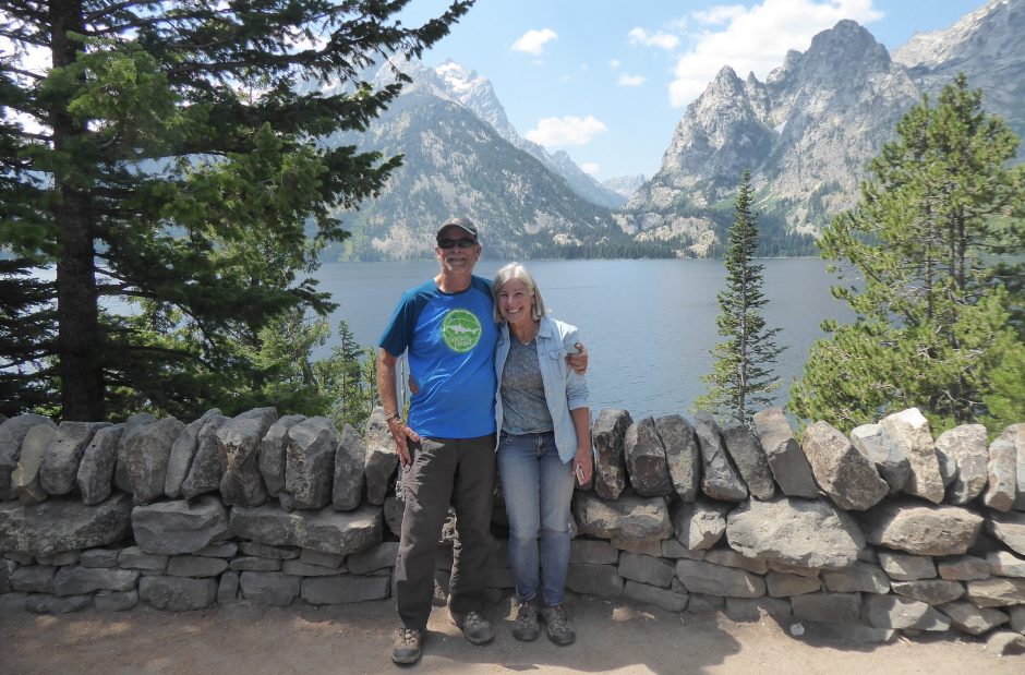

Google maps says it is about 225 miles from Bray-Dunes to Francois’ place in Montigny-Le-Brettoneux, not too long of a drive if you stay on the motorways and make good time. But we had a different agenda, one where we would attempt to locate the farm south of Calais where I spent the weekend in 1977 when I was hitchhiking from Paris (see blog post of 12/28/13).
It was my third ride that day, a Friday, and I’d finally gotten into the groove needed to be successful at hitching, that is to not care when the ride came or where it took you. A red headed Frenchman picked me up, I believe is name may also have been Francois, and as he spoke very good English we talked for most of the ride. He owned a printing firm in Paris and was on his way out to his wife’s family’s farm on the Normandy coast for the weekend, where she and the kids were spending some portion of the summer with her parents.
When I mentioned to him that I had no particular destination in mind, he invited me to camp at the farm and thus began an idyllic weekend during a warm French summer. The farm sat just off a small two-lane country road outside of a small town, the name I’ve forgotten or can’t relocate. This area hugs the coast and house itself was about ¼ mile or so from tall cliffs that fell down to the beach. I set up my tent in a large depression that may have been left by an exploded bomb (there was a war memorial not far away) sheltering me from the strong winds blowing in off of the ocean.
My first night there I was invited up to the house for a drink during their cocktail hour, and each morning of my stay they left out a fresh bottle of milk for me. Francois came out one day with the farm’s jeep and toured me around, talking about his plans for the future, when he could see himself living there and how the farm could prosper. A day or so later I’d hitch out, make it up to Calais and resume my journey. There I would meet the two fellows in the Air Force stationed at Spangdahlem Air Force Base in Germany, where Evan, Rendy and I would drop in a month or two later for some very wild moments. So, in my mind, it was something like a magical time.
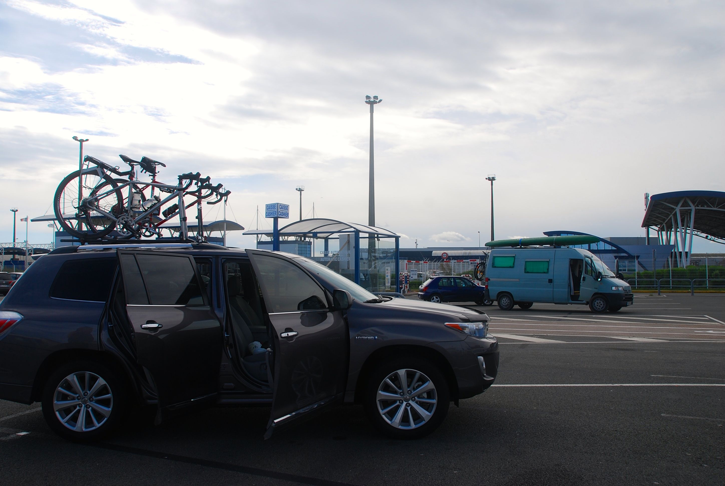
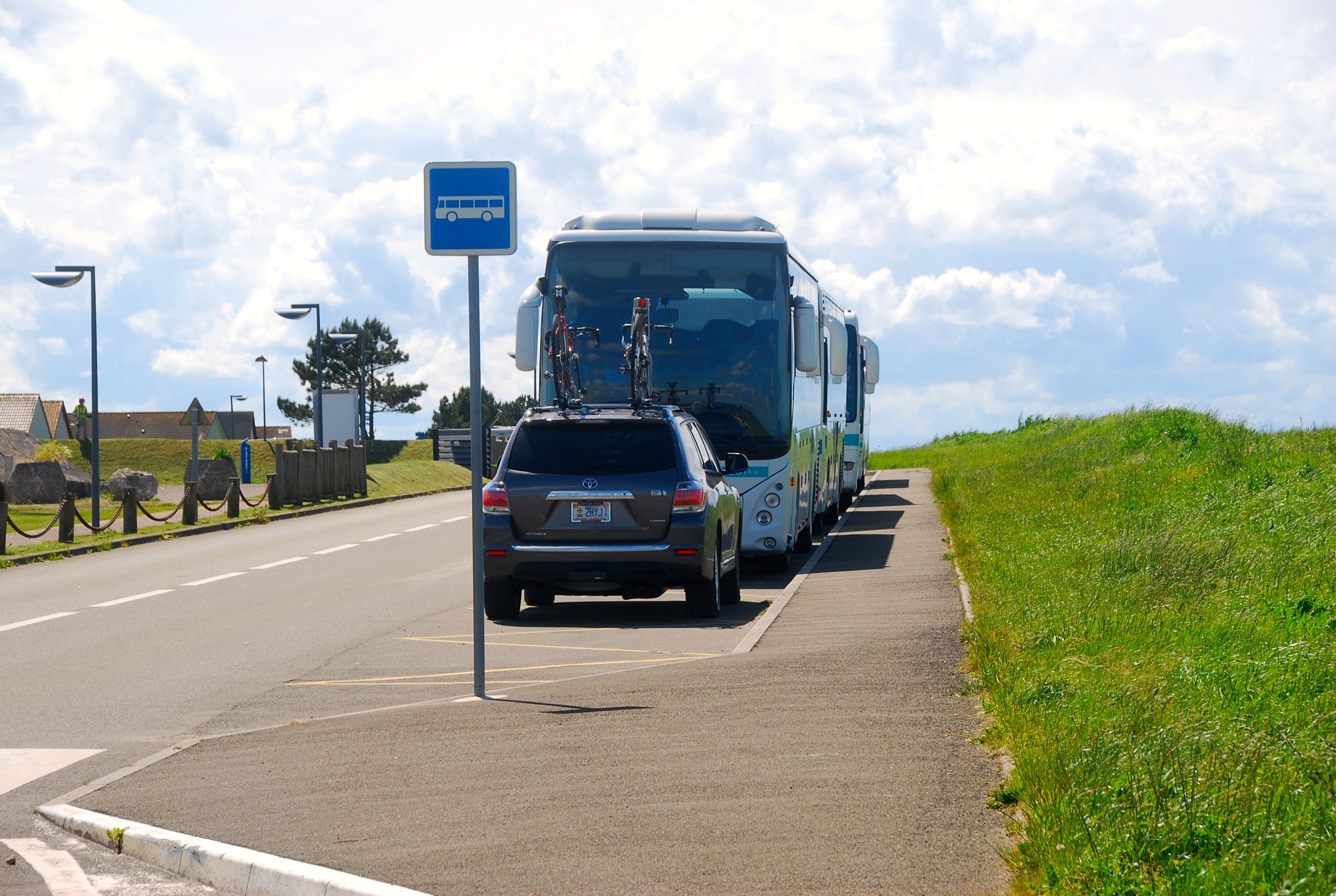
Thus my desire to retrace my steps and see if we could find the farm, figuring that even if we didn’t it would be a great excuse to wander down the coastline of northern France. We stopped briefly in Calais at the Ferry building, so much newer than my last visit in 1977. As we drove out of town we came across a couple of largish shanty towns, impromptu villages housing many would be immigrants to England, held up in Calais over paper work issues.
On the Road in Calais
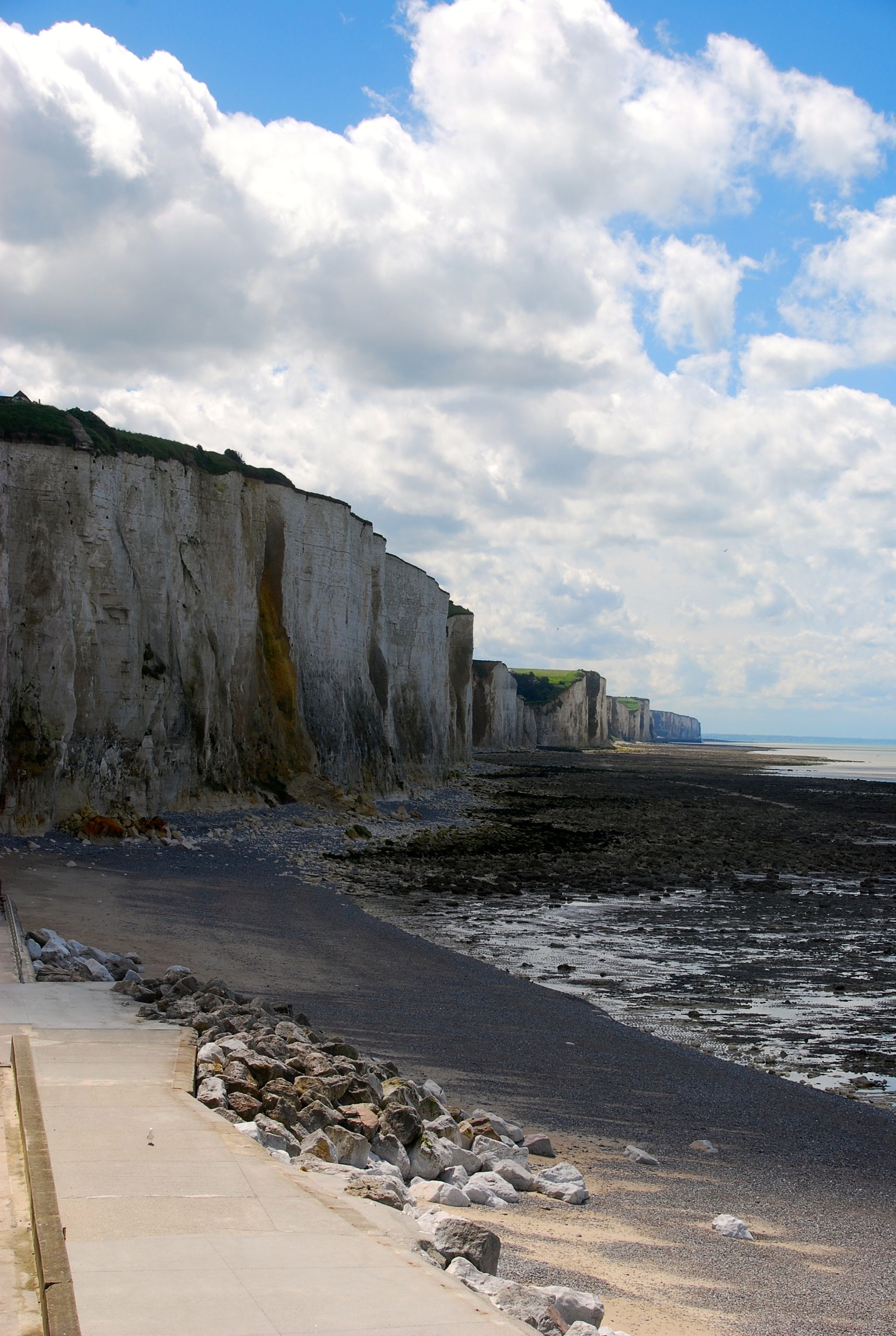
We continued our drive southward, sometimes hugging the coast, sometimes moving inland. We stopped for lunch a small town, grabbing a sausage (no roll) and a delicious crab sandwich form a food truck parked at the beach. With one eye on the clock we drove along, hoping to stumble upon any landmark or place that might seem familiar. We finally hit the town of Le Touguet that sat at the beginning of a long line of the tall cliffs. This seemed promising and we moved along, hoping to find just the right small road and small town.
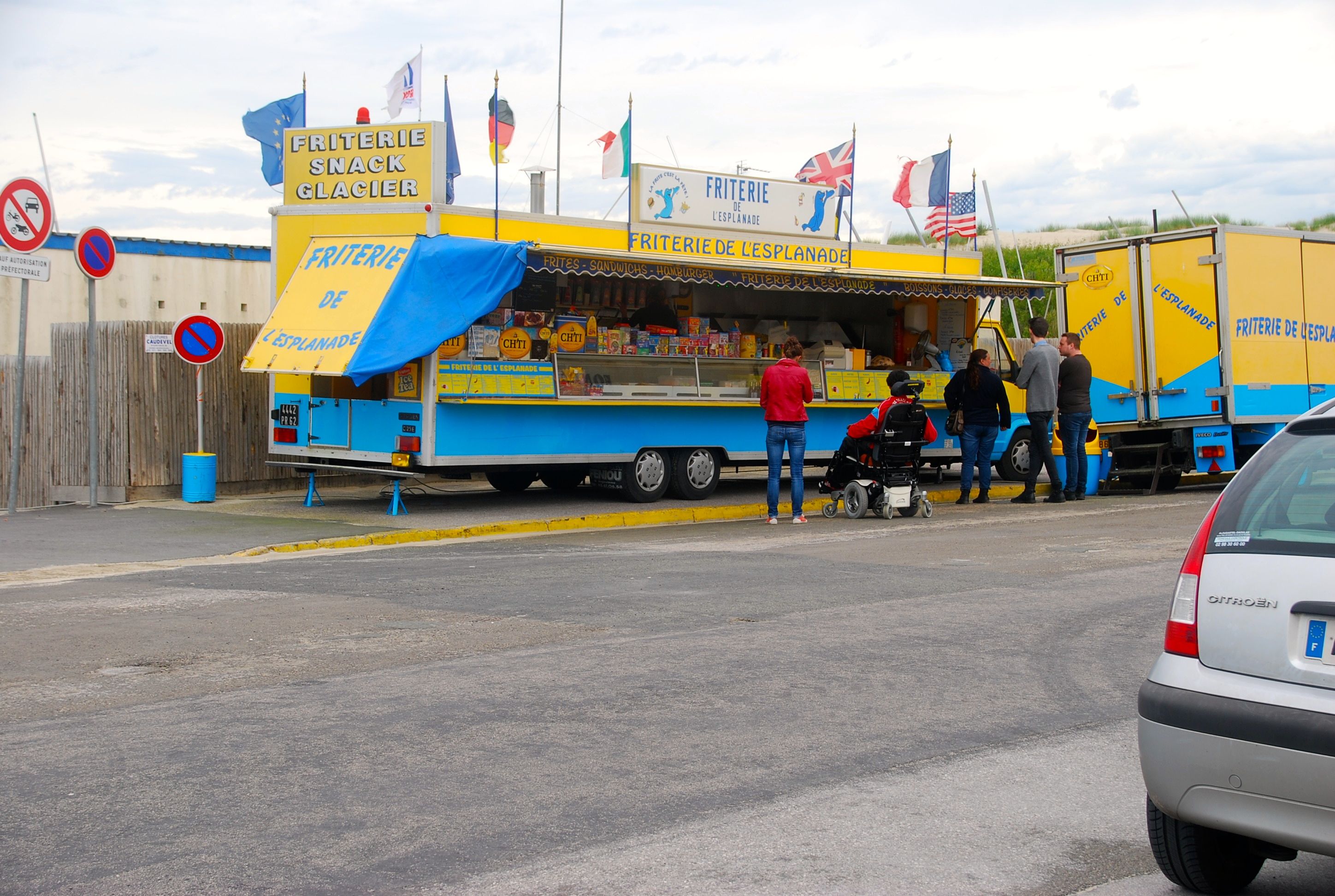
Lunch Stop
We climbed up out of the beachfront up the cliffs to a vantage point high above town, at the sight of a former hospital destroyed during the war and featuring a funicular that ran down to the beach. It was one of those breathtakingly beautiful spring days, slightly warm, blue skies, and great white cloud banks skittering across the horizon. We took some pictures, changed places behind the wheel (Joanna had been driving) and determining that our quest was over for the time being, and felt it would be best if we pushed on to Montigny.
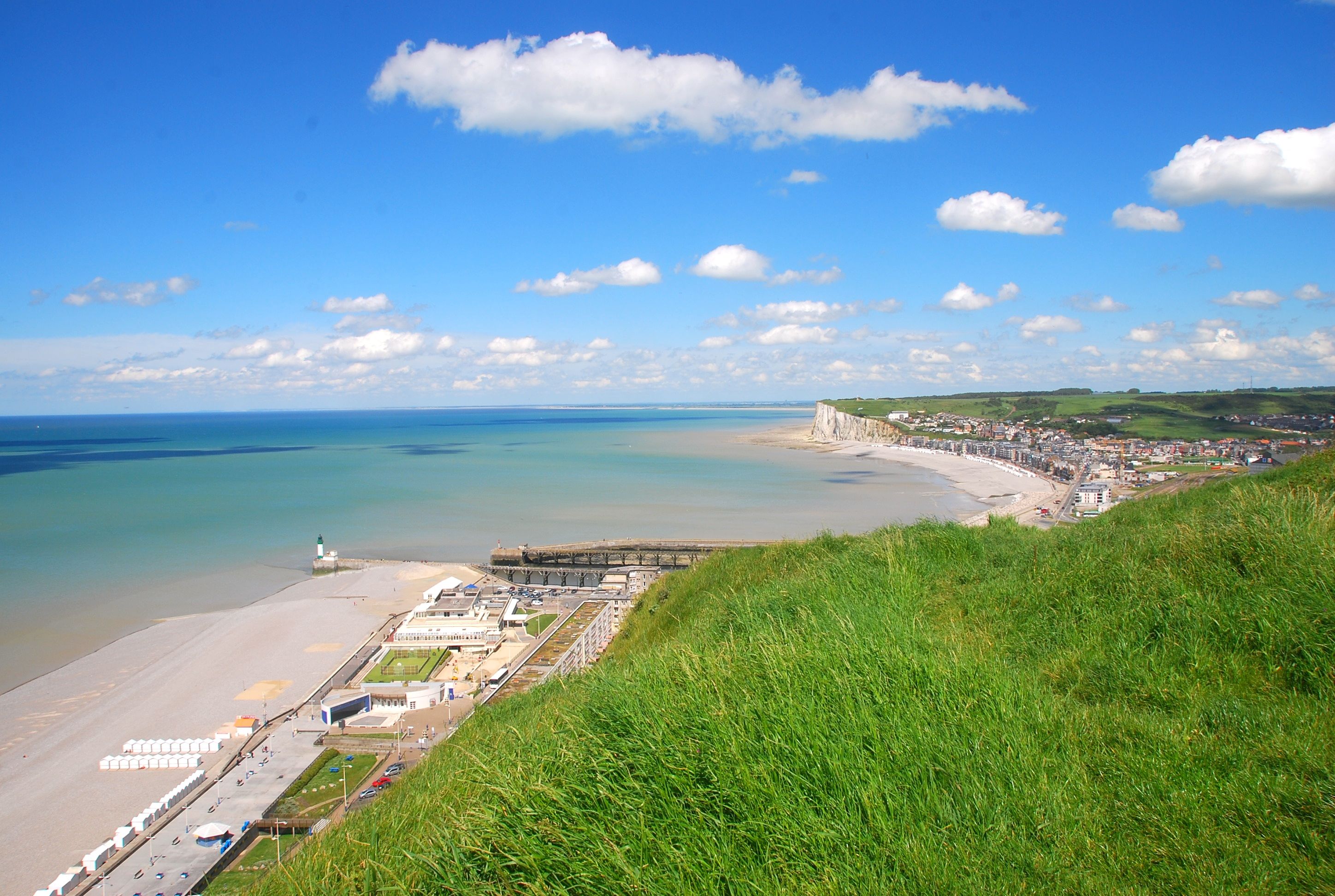
View of Le Touquet
Driving went smoothly, with one stint on a toll road that only cost us about $6 and included one minor diversion that was a foreshadowing of many to come. It turns out that most countries, if not all in the Euro Zone, require a front license plate. Unfortunately for us, North Carolina does not. And so as we were clearing the first pay station on the toll road a Gendarme pulled us over to chat about the missing plate. We showed him our papers (International Driver’s License and Insurance Papers) and after a bit of scrutiny, he sent us on our way.
We couldn’t fit into the car park
We drove into Rouen (we’d visited there in 1984) expecting an easy go of it as we were on the A10, a major route to Paris when we hit a road closed sign and a diversion that would end up costing us nearly 30 minutes as we tried to find an alternative way to move along, with the GPS continually trying to route us back to the closed road.
Driving and navigating in Europe is not that much different than in the states. Sure the inner cities pose a challenge, as the streets are narrow, the towns being so very old and usually some crazy combination of one way and dead-end streets. But once you get the hang of how they post signage for directions, you can navigate easily as long as you keep in mind the next town or two ahead of you.
The parallel in the States would be if you were to drive from Los Angeles to San Francisco, you would not look for directional signs that say San Francisco. You would need to know the towns along the way, so you’d drive in the direction of Santa Barbara, then Santa Maria, then San Luis Obispo and so on until you reached your destination.
We pulled out the map, figured out which couple of towns lay between Paris and us and went in that direction. Once we got a few miles out of town we turned the GPS back on and it began to chart the best way to get to Montigny and so we would make it, later in the day than anticipated, but grateful to see our good friend Francois.
Chasing a memory along the Normandy cliffs
Discover more from 3jmann
Subscribe to get the latest posts sent to your email.

Particularly enjoyed this posting. Lovely photos. Interesting commentary. And, interestingly enough, last night Frau Angst and I watched a two hour documentary on Nova about the sunken ships and equipment lost on D-Day, seventy years ago this coming week. As we watched, we speculated whether or not you guys would be anywhere nearby, and indeed you were right there. Good timing. How’s Paris? When do the bicycles race?