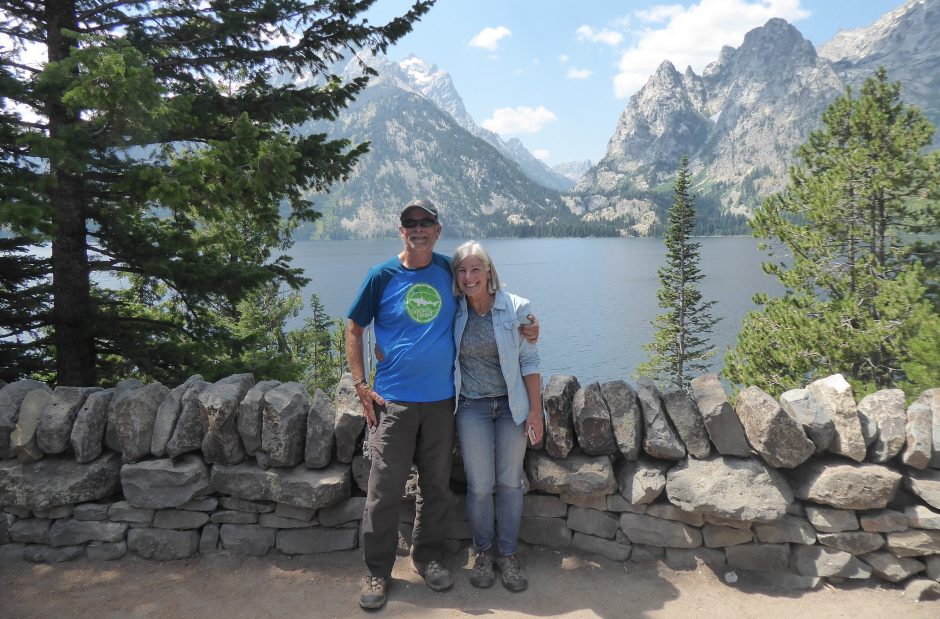
November 2 – 13, 2020
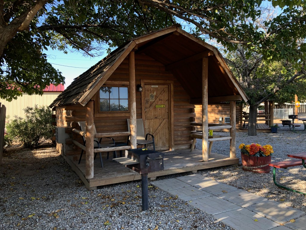
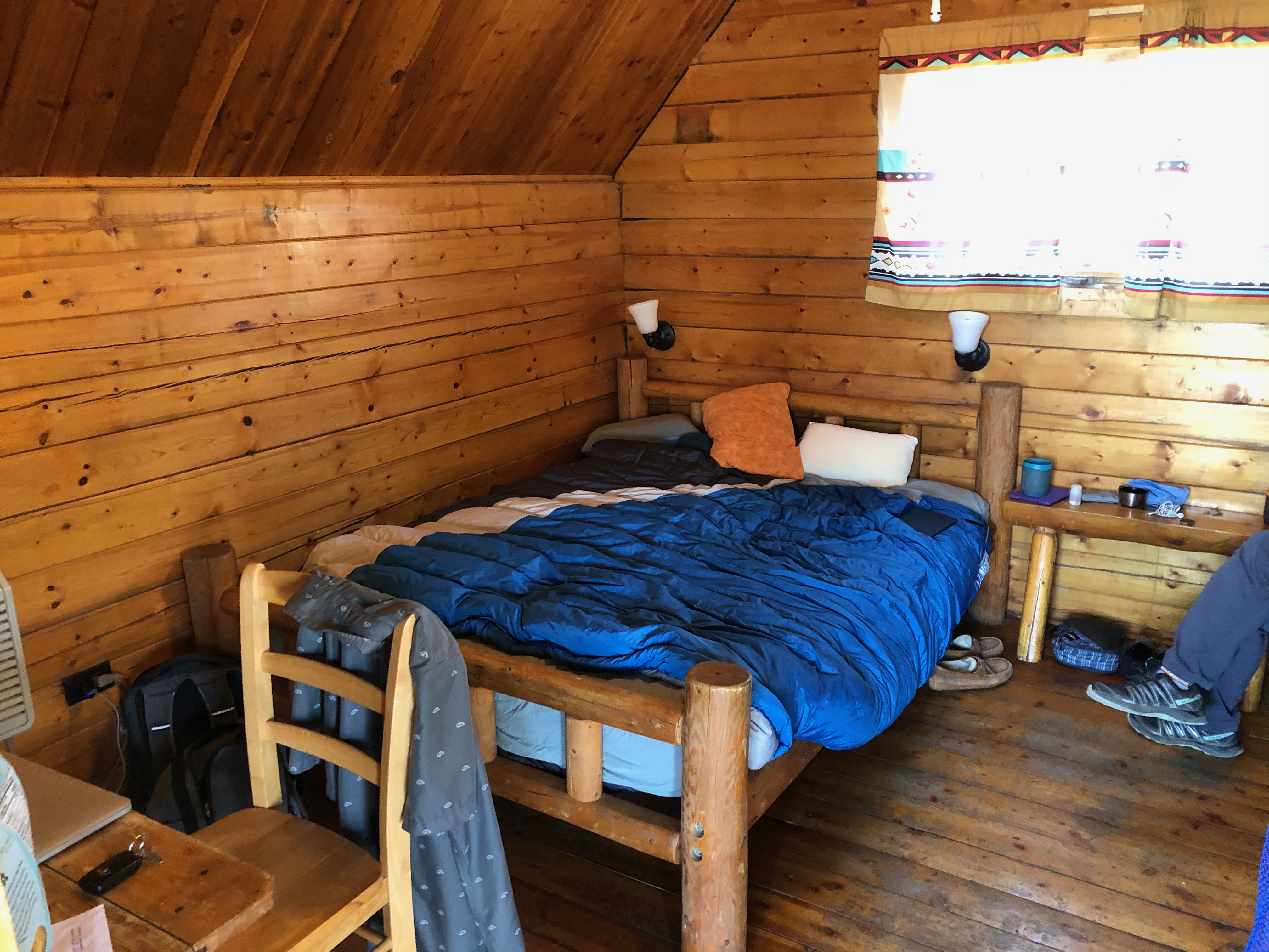
Our plan for the day was to head out to White Sands National Park and then see where the day would take us. We loitered around the cabin a bit after two straight days of driving, a comfortable proposition as it was warm enough and between a chair and desk inside and two webbed chairs on the porch, time passed pleasantly.
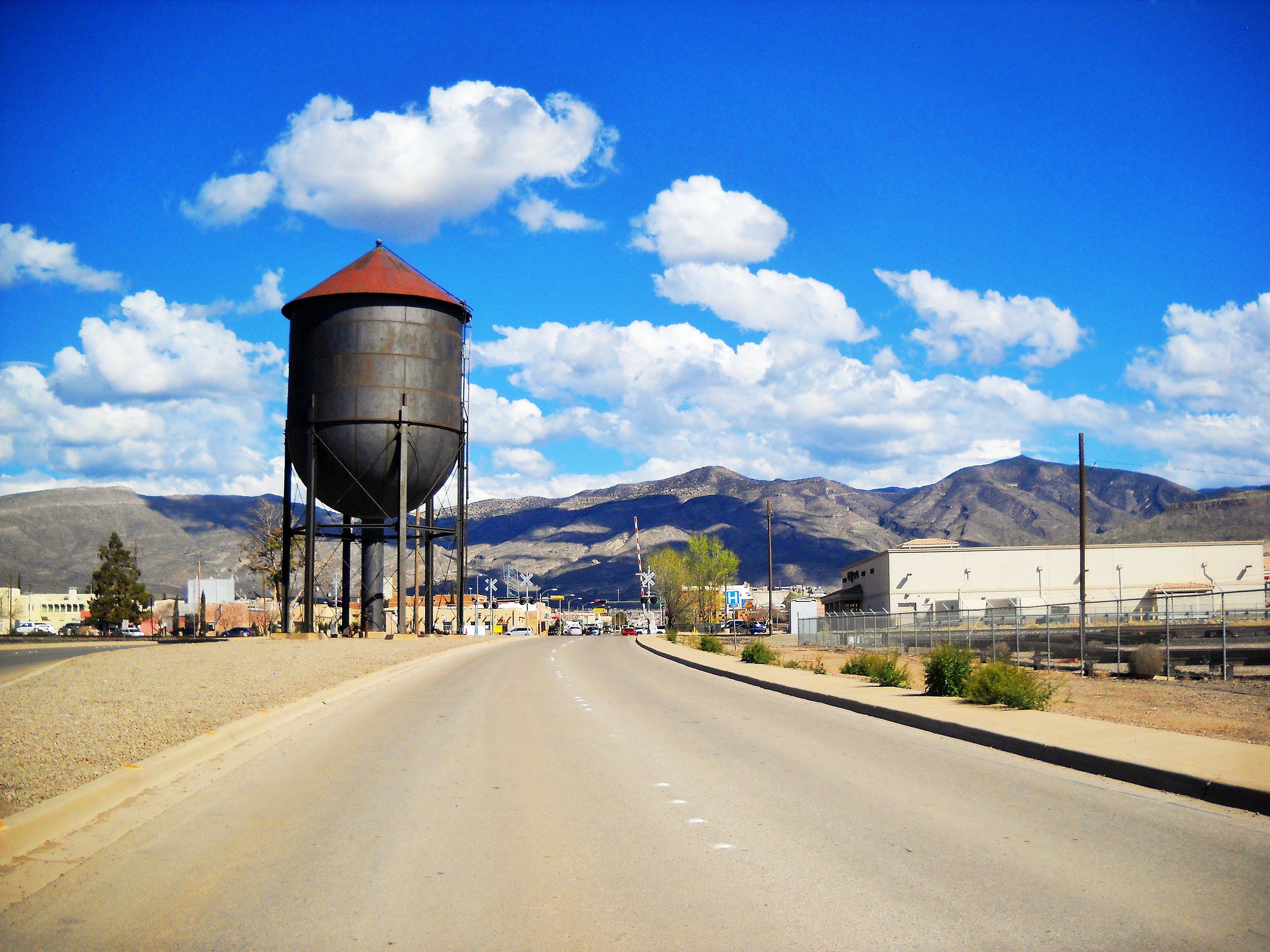
It also gave us the opportunity to check out information about Alamogordo itself, a town with a fascinating history. The seat of Otero County in the Tularosa Basin of the Chihuahuan Desert, it is bordered on the east by the Sacramento Mountains and to the west by Holloman Air Force Base. It is primarily known for its connection with the 1945 Trinity test, which was the first ever explosion of an atomic bomb.
The present settlement, established in 1898 to support the construction of the El Paso and Northeastern Railroad, is an early example of a planned community. The city was incorporated in 1912 and tourism became an important economic factor with the creation of White Sands National Monument in 1934. During the 1950–60s, Alamogordo was an unofficial center for research on pilot safety and the developing United States’ space program.
Holloman Air Force Base, located approximately 3 miles west of the city limits, is the largest employer of Alamogordo residents, and according to some estimates, accounts for half of the local economy. An estimated 6,700 military retirees live in the area. Counting both USAF and German Air Force personnel there are 1,383 active military and 1,641 military dependents living on base and 2,765 active military and 2,942 military dependents living off base. After 27 years of training at Holloman the German Air Force left in 2019 and relocated their pilot training to Sheppard Air Force Base in Texas.
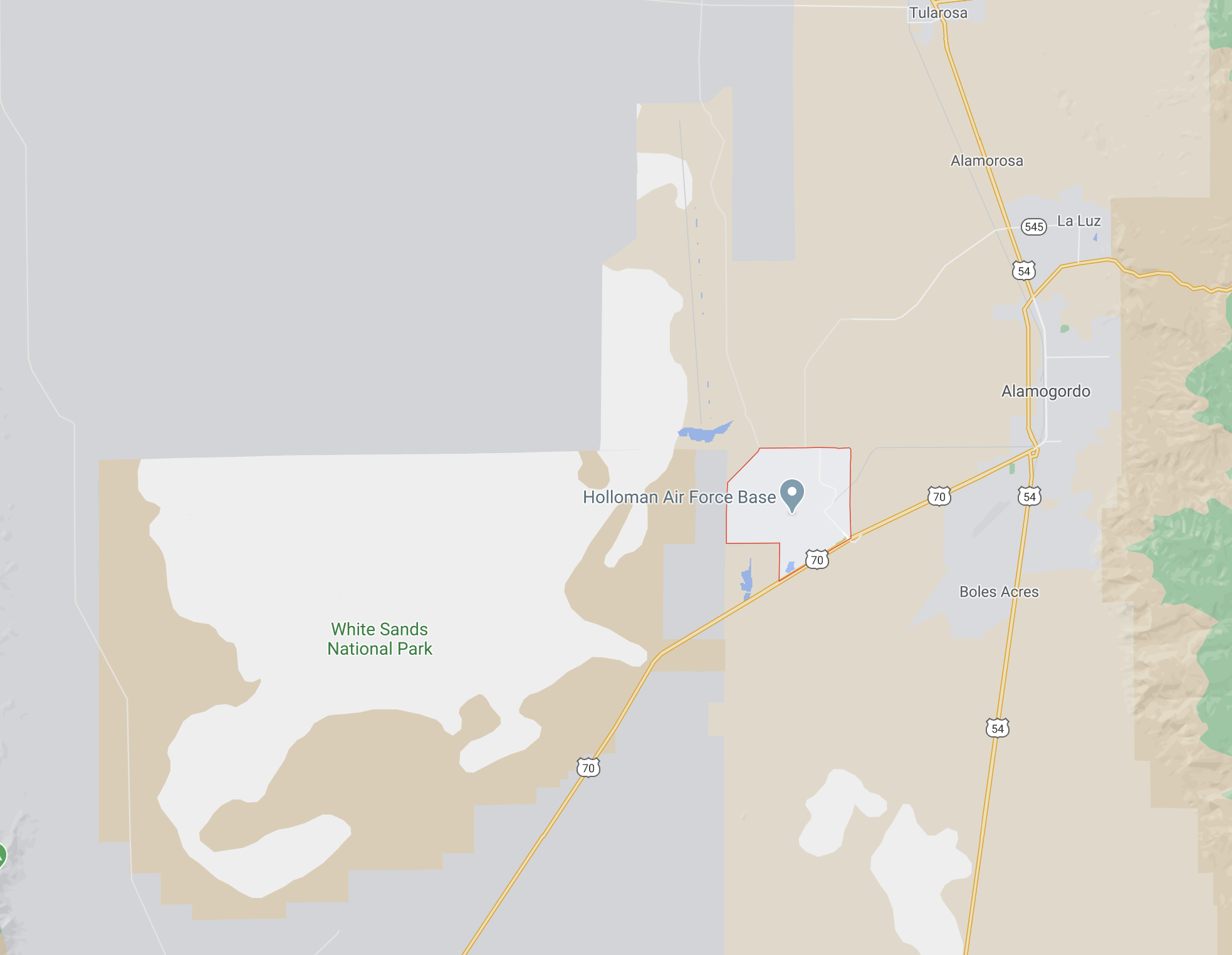
By late morning we were heading southwest out of town to White Sands National Park. Situated at an average elevation of about 4,000 feet, it comprises the southern part of a 275 sq mi field of white sand dunes composed of gypsum crystals, the largest of its kind on Earth.
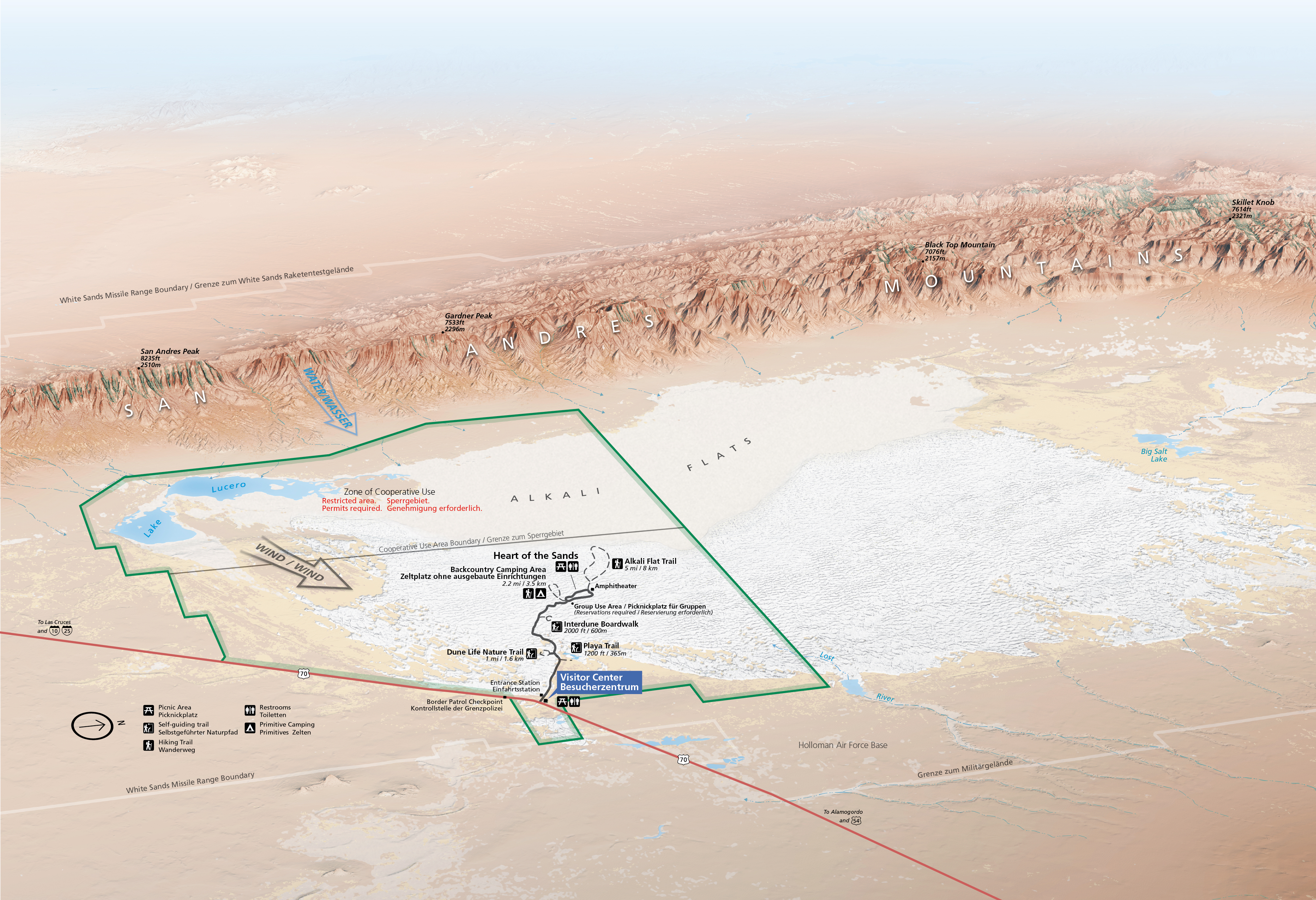
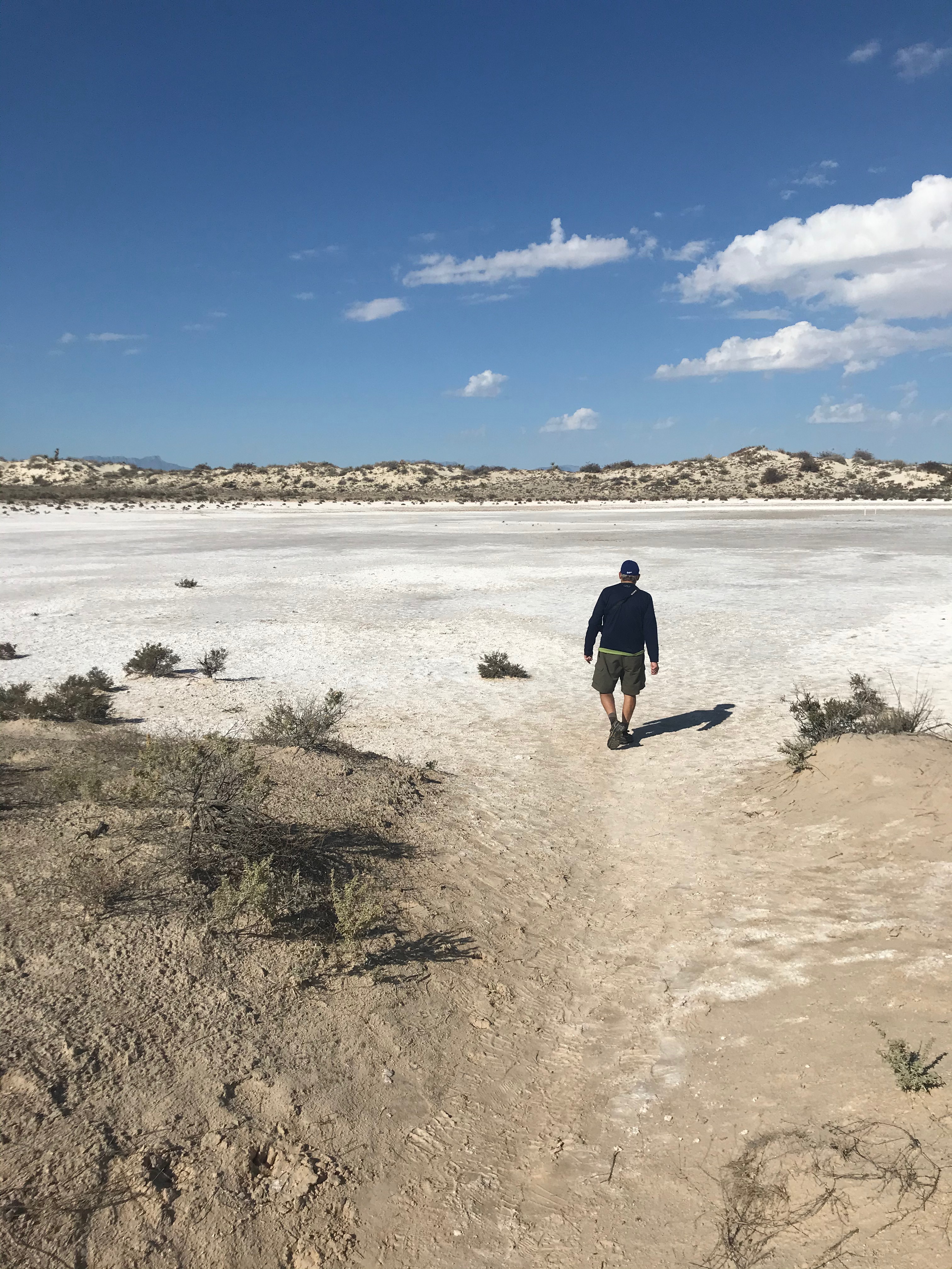
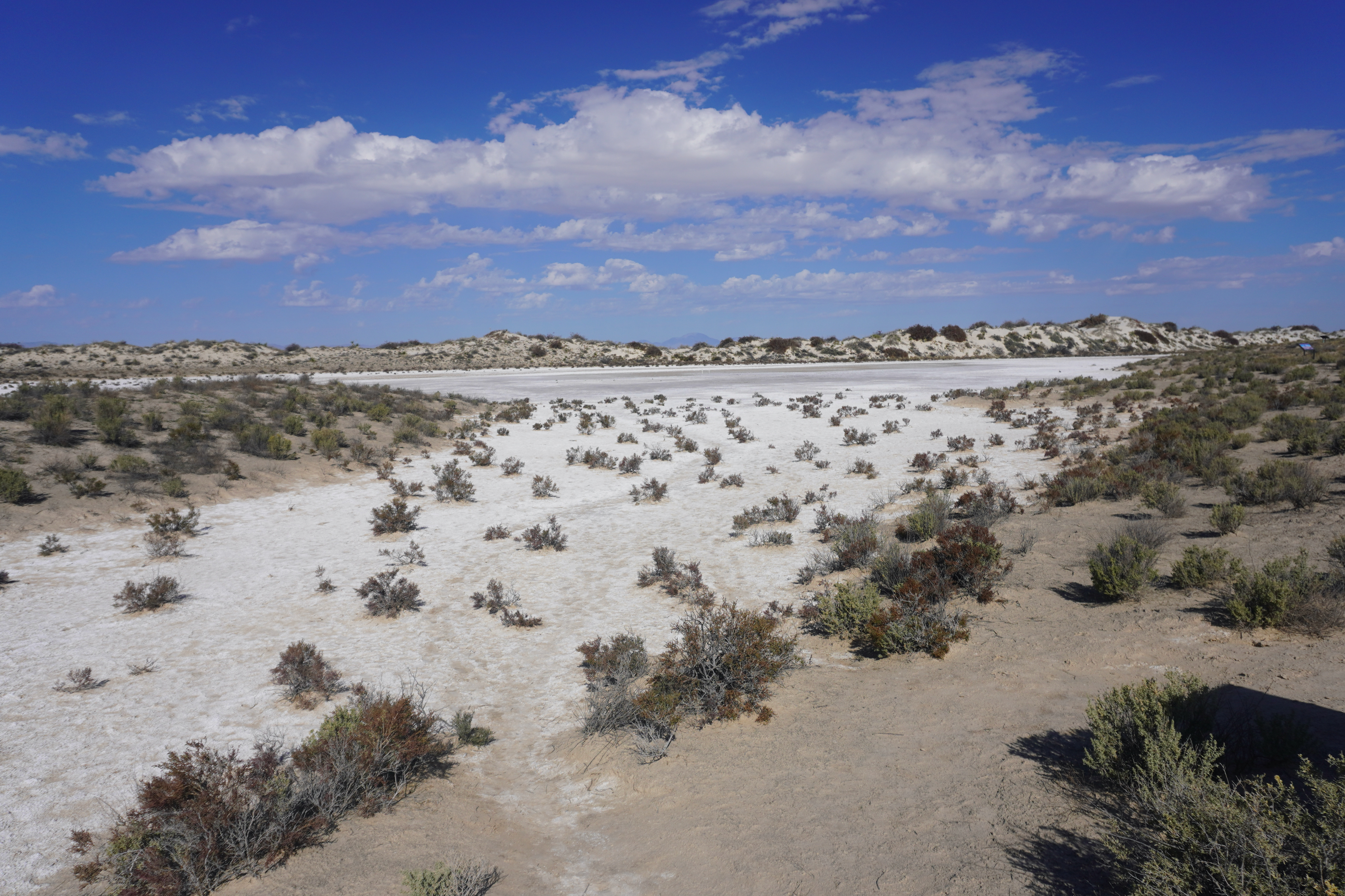
The park was originally designated White Sands National Monument on January 18, 1933 by President Herbert Hoover and re-designated as a national park when Congress passed the 2020 National Defense Authorization Act on December 20, 2019. With the Park Center closed, we went straight to the first turnout to walk out on the Playa Trail to check out the dry lakebed there.
This would be our pattern for the visit, drive to a trailhead and walk as far as it would go, return, rinse and repeat.
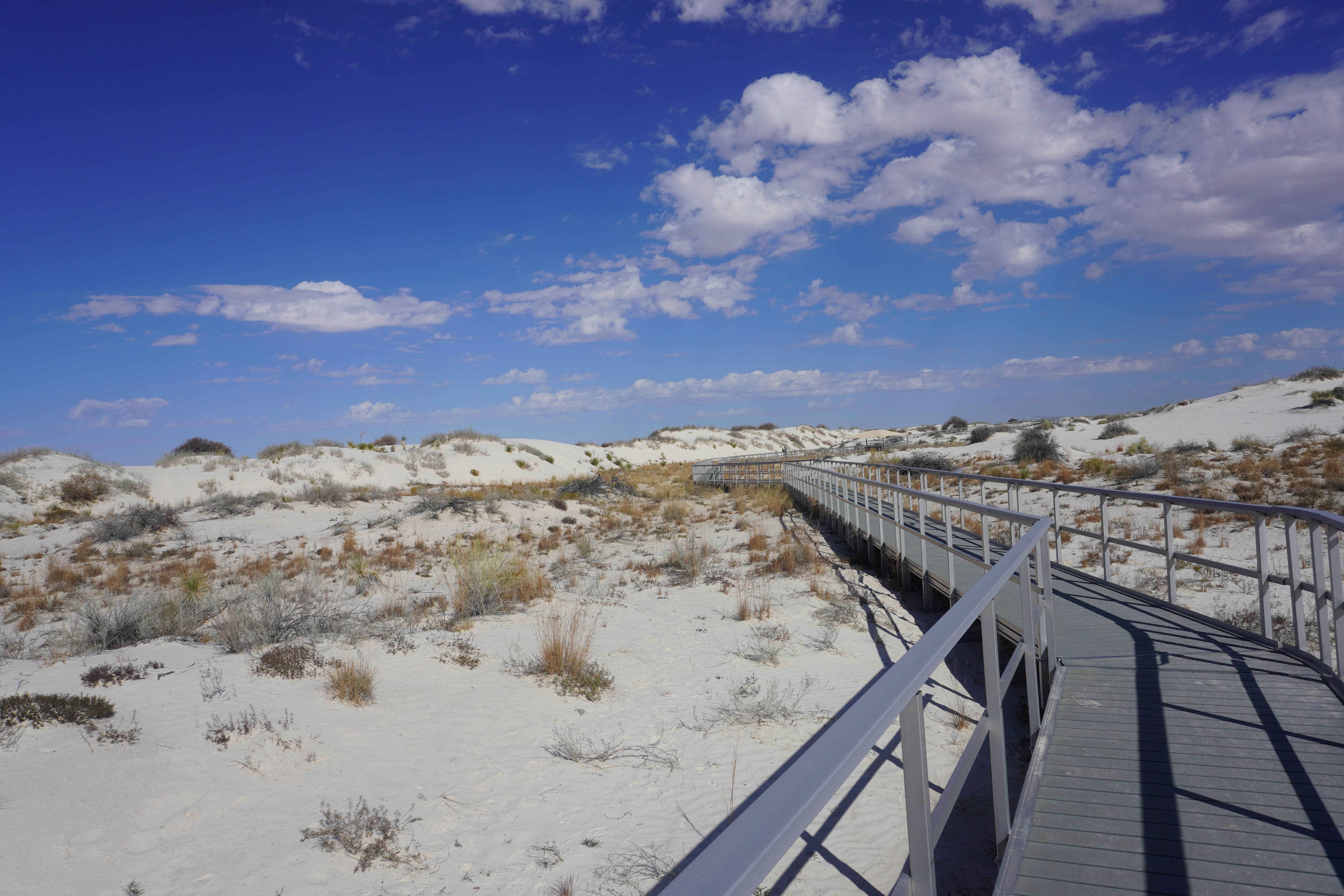
Our next stop was the Interdunes Boardwalk, an elevated pathway laced between smaller dunes that began to give one an idea of what to expect further into the park.
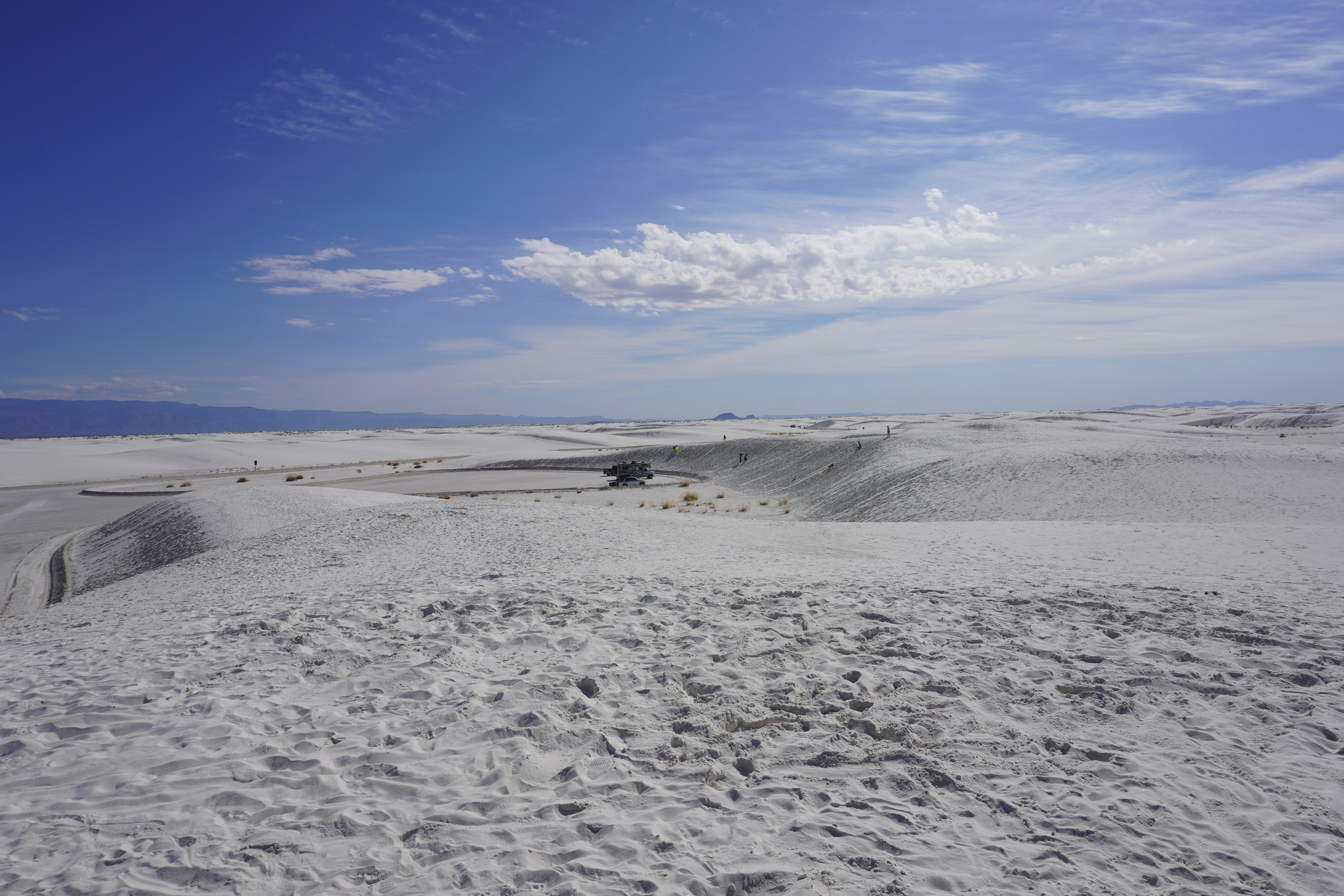
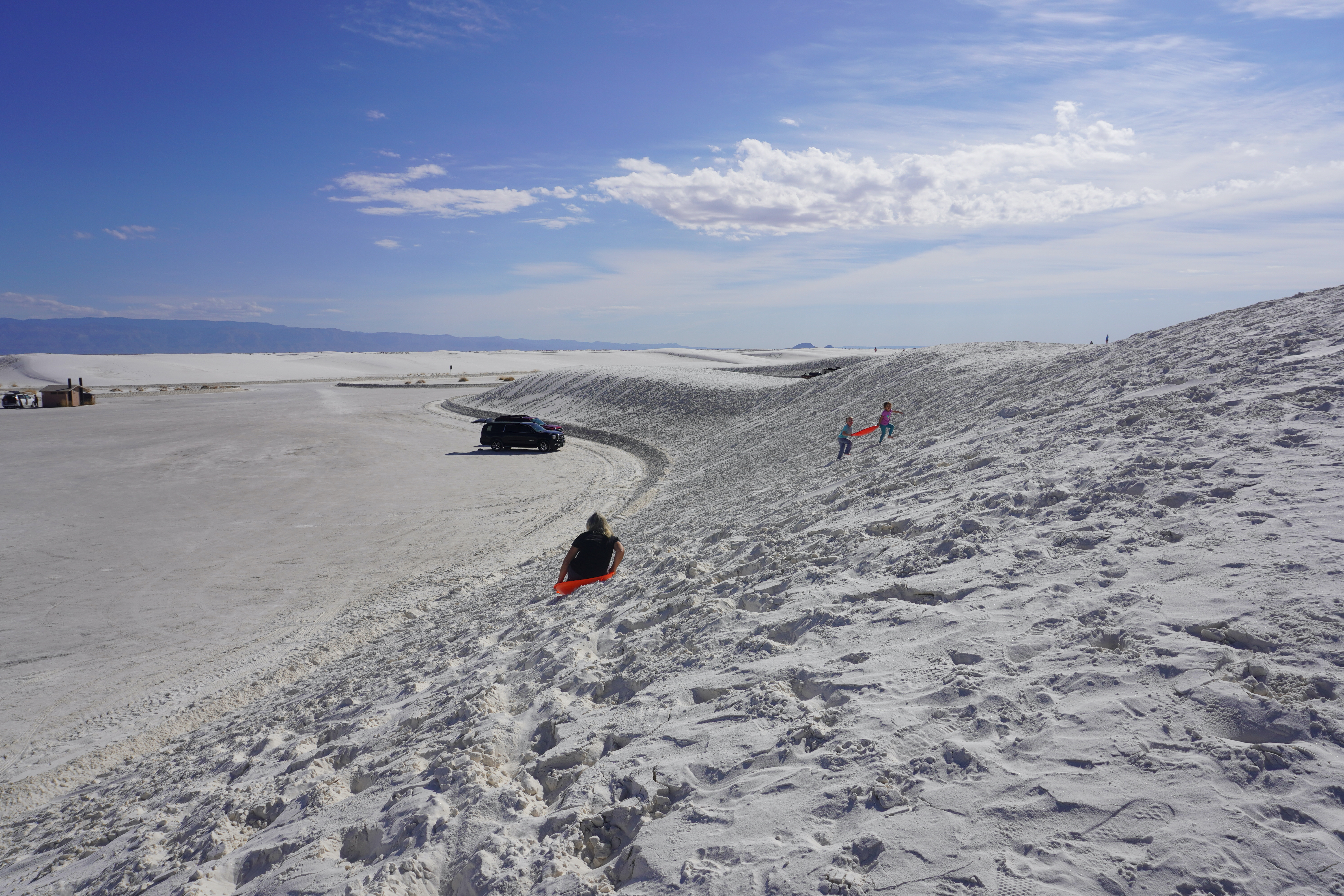
Back at the car we drove past the nature center to the Heart of the Sands, that area with the largest concentration of accessible dunes, perfect for the activity most folks associate the park with, that is sledding down the side of a hill of gypsum crystal sand. We’d checked out two round discs from the KOA office and after parking the car, climbed to the top of the nearest dune, watching as a family took turns sliding down its side.
Soon Joanna took the plunge and navigated her way down slope safely, returning to the top to go again. In the meantime, I walked back down to the base in order to get a couple of pictures from that angle and when she was finished, we took off in the car back out towards the entrance of the park to stop one final time at the trailhead for the Big Dune Nature Trail.
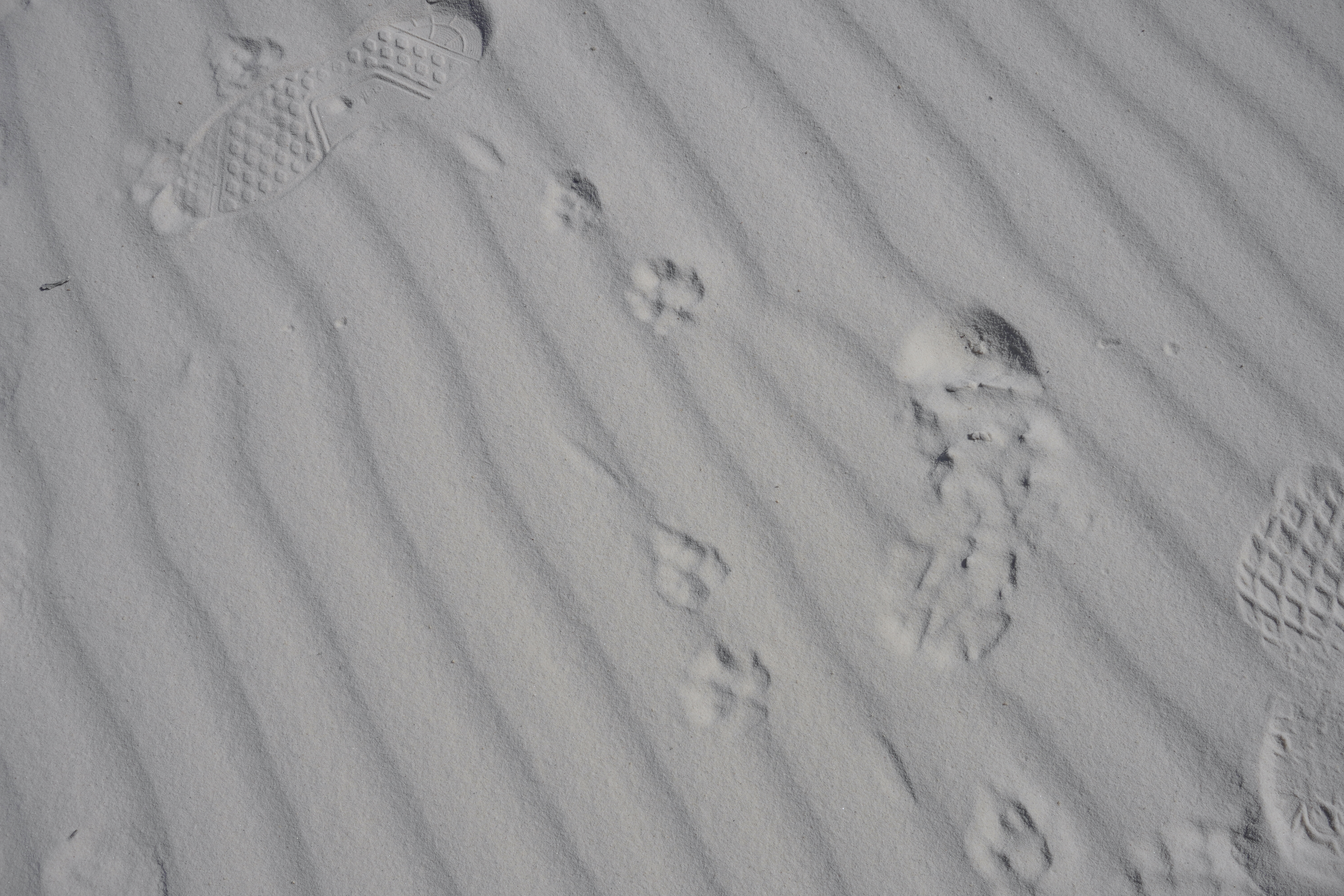
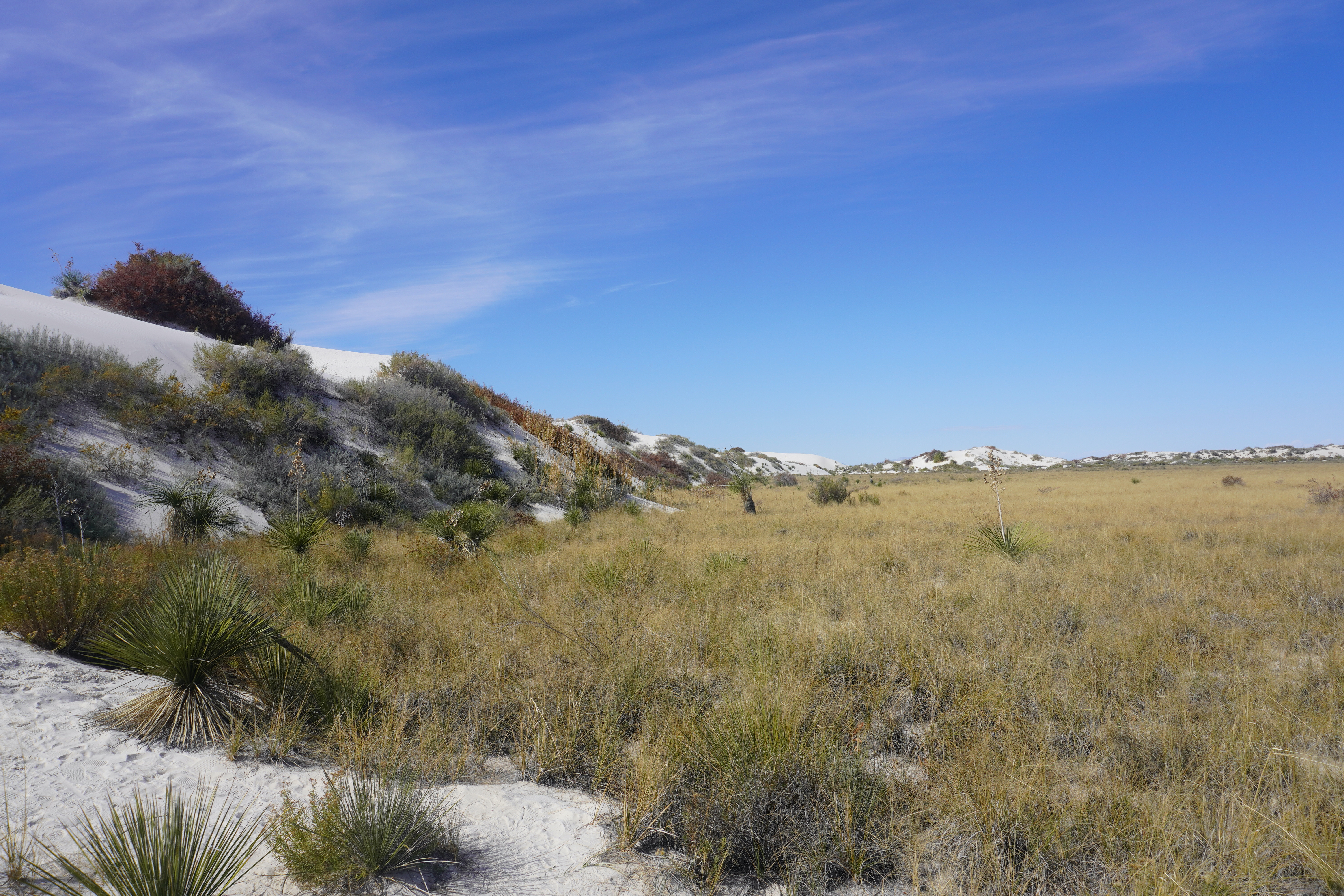
The trail is an ecotone: in this area the desert scrub community and the gypsum sand dunes meet and form one of the most diverse ecosystems in the park. While many animals live here, most desert animals are nocturnal and although they are rarely seen during the day, they leave signs of their presence in different forms, such as tracks in the sand. These tracks tell the stories of the previous night’s activities in the dunes. Often apparent are those of kit foxes, badgers, birds, coyotes, rodents, and reptiles.
We walked around the entire loop, diligently following the signposts as there weren’t any discernable landmarks to guide by and found the information presented to be simple and yet highly informative.
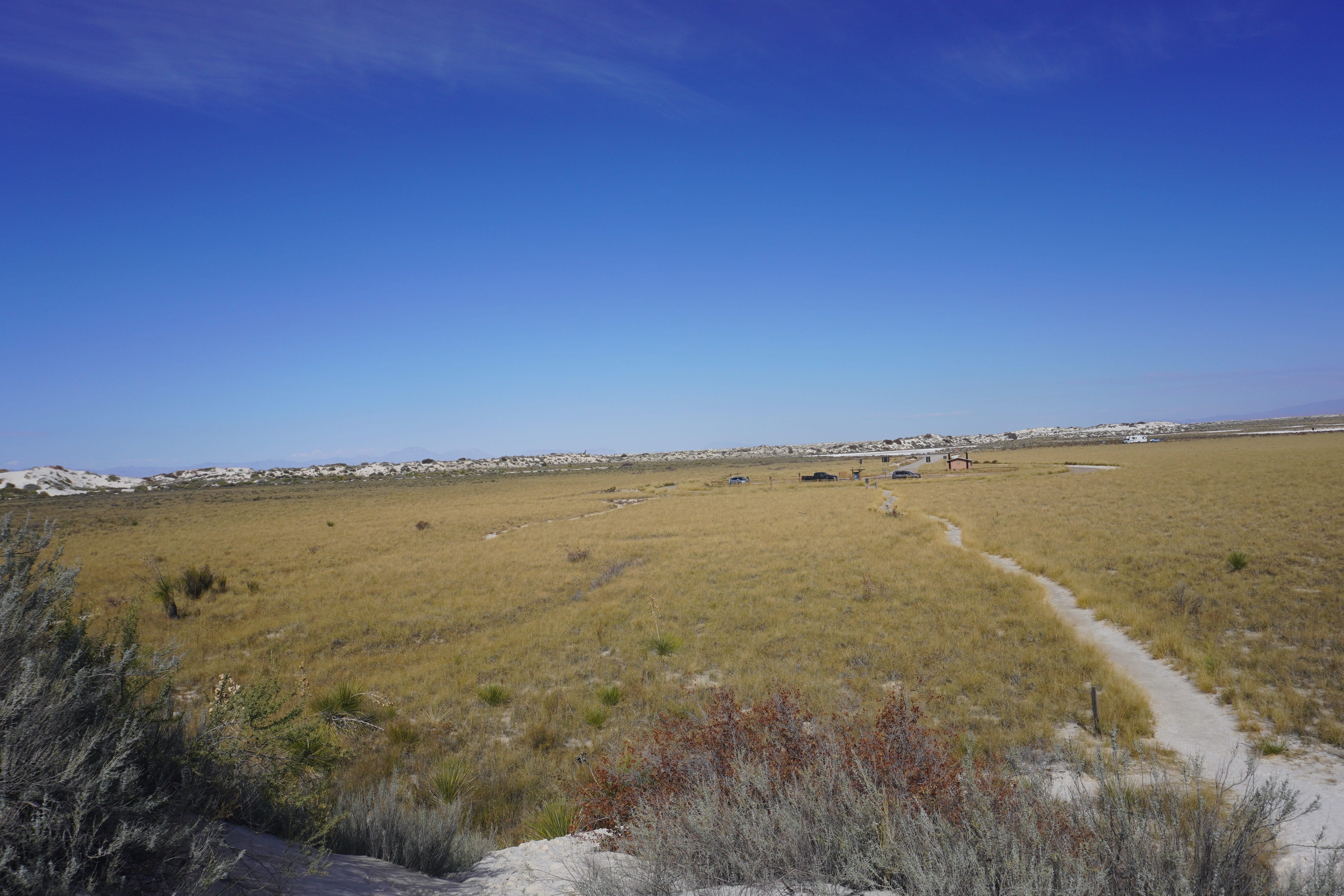
Finished, we took one last look at the surrounding landscape before descending a steep bank to return to the parking lot for the drive back into town.
It being lunch time we made a quick stop at a McDonalds and again found ordering through its app painless and efficient, with the food brought out to our car in the parking lot in a designated stall. I had the Filet-O-Fish, with its wild-caught, sustainable Alaskan pollock main ingredient a seemingly healthy choice. Although not a health food item at 20 grams of fat (likely due more to the coating and the secret sauce) and 379 calories, it does compare favorably to a Big Mac at 30 grams of fat and 550 calories. So, I guess I’ll save my once-a-month burger fix for In-N-Out or The Habit when it is that time.
Links
Alamogordo: https://ci.alamogordo.nm.us/
White Sands: https://www.nps.gov/whsa/index.htm
Discover more from 3jmann
Subscribe to get the latest posts sent to your email.
